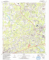
1992 Map of Austell
USGS Topo · Published 1992About this map
Sweetwater Creek and its many tributaries, including Noses Creek and Olley Creek, define the landscape of this suburbanizing corridor in the early 1990s. The map captures a period of significant growth across the intersection of Cobb, Douglas, and Paulding counties. While older residential patterns remain visible near Austell and Powder Springs, newer developments are evident near the Sweetwater Creek State Park and Sparks Reservoir. Local spiritual and communal life is well-documented through numerous landmarks such as Souls Arbor Tabernacle, Praise Tabernacle, and Sunrise Mem Gardens. The transition from rural to residential is underscored by the presence of large institutions like Lithia Sprs High Sch and industrial footprints including a large Quarry. Significant infrastructure like the Radio Towers (WKKP) and the Railroad Grade northwest of Powder Springs provide clear navigational markers for the era.
Find a feature on this map
76 named features on this map. Tap any name to fly to it.
Don’t see what you’re looking for? This feature index may not catch every label — zoom into the map to look around manually.
Map Details
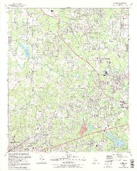
Editions of this 1992 Austell Map
2 editions found
Other maps of this area

1891 · Marietta
USGS Topo · 1:125,000

1895 · Marietta
USGS Topo · 1:125,000

1897 · Marietta
USGS Topo · 1:125,000

1901 · Marietta
USGS Topo · 1:125,000

1953 · Atlanta
USGS Topo · 1:250,000

1954 · Campbellton
USGS Topo · 1:24,000
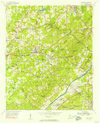
1954 · Mableton
USGS Topo · 1:24,000
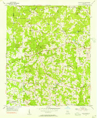
1954 · Lost Mountain
USGS Topo · 1:24,000

1954 · Austell
USGS Topo · 1:24,000
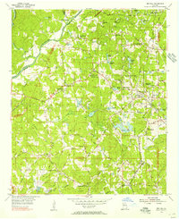
1954 · Ben Hill
USGS Topo · 1:24,000