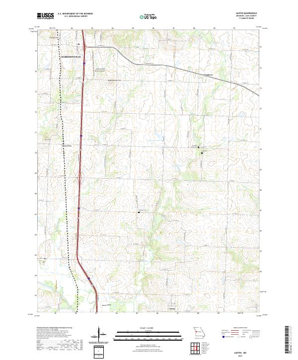
2021 Map of Austin
USGS Topo · Published 2021About this map
The agricultural heart of Cass County unfolds south of Harrisonville, where the rural landscape is defined by the headwaters of the South Grand River. This 2021 record captures a mix of small crossroads communities and long-established family landholdings, with the settlement of Austin positioned near the southern edge and the quiet locality of Daugherty to the east. Several ancestral burial grounds, including Vansandt Cem, Reed Cem, and Pleasant Valley Cem, remain preserved amidst the rolling terrain. The map illustrates the shift from aviation and industry near the Lawrence Smith Memorial Airport to the drainage basins of Eightmile Cr and Tennessee Cr. Distinctive rises like Snowball Hill and Bodenhammer Hill provide natural landmarks overlooking a network of section roads that have structured this region for generations, while modern reservoirs like Hartzler Lake and Kurzweil Lake punctuate the drainage of the local creeks.
Find a feature on this map
68 named features on this map. Tap any name to fly to it.
Don’t see what you’re looking for? This feature index may not catch every label — zoom into the map to look around manually.
Map Details
Editions of this 2021 Austin Map
This is the sole edition of this map. No revisions or reprints were ever made.
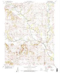
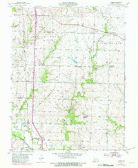
Historical Maps of Lone Tree Through Time
4 maps found