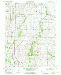
1954 Map of Austin
USGS Topo · Published 1982About this map
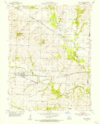
Austin and the surrounding Cass County countryside are defined by the winding course of the Grand River and the rural infrastructure of the mid-20th century. The landscape is dotted with centers of community life, from Pleasant Ridge Ch to numerous country schools like Hutchison Sch and School No 36. The era's shifting social geography is visible in several decommissioned facilities, including Elm Branch Sch (Abandoned) and Houston Sch (Abandoned).
Find a feature on this map
30 named features on this map. Tap any name to fly to it.
Don’t see what you’re looking for? This feature index may not catch every label — zoom into the map to look around manually.
Map Details
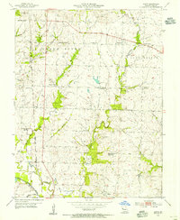
Editions of this 1954 Austin Map
2 editions found
Other maps of this area

1887 · Harrisonville
USGS Topo · 1:125,000

1887 · Butler
USGS Topo · 1:125,000

1892 · Harrisonville
USGS Topo · 1:125,000

1894 · Harrisonville
USGS Topo · 1:125,000

1894 · Butler
USGS Topo · 1:125,000

1947 · Lawrence
USGS Topo · 1:250,000

1950 · Lawrence
USGS Topo · 1:250,000
1953 · Everett
USGS Topo · 1:24,000
1954 · Harrisonville
USGS Topo · 1:24,000
1954 · East Lynne
USGS Topo · 1:24,000