
1894 Map of Butler
USGS Topo · Published 1894About this map
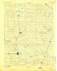
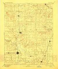
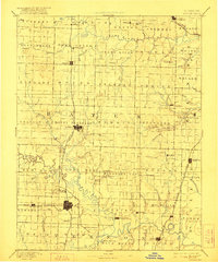
Butler serves as the central hub of this late 19th-century landscape, positioned at the junction of rail and road. The Missouri Pacific Railroad dominates the north-south transport corridor, linking settlements like Adrian and Rich Hill to the wider region. The southern portion of the map is defined by the winding course of the Osage River and the Little Osage River, where the terrain transitions into a dense network of creeks and branches.
Find a feature on this map
86 named features on this map. Tap any name to fly to it.
Don’t see what you’re looking for? This feature index may not catch every label — zoom into the map to look around manually.
Map Details
Editions of this 1894 Butler Map
4 editions found
Other maps of this area

1884 · Fort Scott
USGS Topo · 1:125,000

1885 · Warrensburg
USGS Topo · 1:125,000

1886 · Nevada
USGS Topo · 1:125,000

1886 · Stockton
USGS Topo · 1:125,000

1886 · Fort Scott
USGS Topo · 1:125,000

1887 · Clinton
USGS Topo · 1:125,000

1887 · Harrisonville
USGS Topo · 1:125,000

1887 · Olathe
USGS Topo · 1:125,000

1887 · Butler
USGS Topo · 1:125,000

1887 · Mound City
USGS Topo · 1:125,000