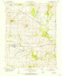
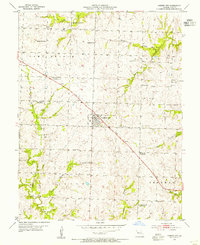
1954 Map of East Lynne
USGS Topo · Published 1955About this map
East Lynne and Gunn City serve as the primary hubs in this mid-century portrait of eastern Cass County, where three major rail lines converge. The industrial landscape is defined by the tracks of the Chicago Rock Island and Pacific, the Missouri Kansas Texas, and the St Louis San Francisco, which navigate the drainage basins of Big Creek and Camp Branch. These rail corridors were vital for agricultural transport, connecting small settlements like Wingate and Hadsell to broader markets.
Find a feature on this map
29 named features on this map. Tap any name to fly to it.
Don’t see what you’re looking for? This feature index may not catch every label — zoom into the map to look around manually.
Map Details
Editions of this 1954 East Lynne Map
This is the sole edition of this map. No revisions or reprints were ever made.
Other maps of this area

1887 · Harrisonville
USGS Topo · 1:125,000

1892 · Harrisonville
USGS Topo · 1:125,000

1894 · Harrisonville
USGS Topo · 1:125,000

1947 · Lawrence
USGS Topo · 1:250,000

1950 · Lawrence
USGS Topo · 1:250,000

1954 · Harrisonville
USGS Topo · 1:24,000
1954 · Quick City
USGS Topo · 1:24,000
1954 · Kingsville
USGS Topo · 1:24,000
1954 · Strasburg
USGS Topo · 1:24,000
1954 · Garden City
USGS Topo · 1:24,000