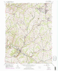
1954 Map of Avella
USGS Topo · Published 1979About this map
The extraction landscape of Washington County defines this 1950s survey, updated in the late 1970s. The terrain is marked by extensive strip mines, oil wells, and gas wells, particularly in the north around Hanlin Station and Langeloth. Small coal-patch and industrial settlements like Slovan, Atlasburg, and P and W Patch line the rail corridors, illustrating the region's historical reliance on the Conrail and Norfolk And Western lines.
Find a feature on this map
49 named features on this map. Tap any name to fly to it.
Don’t see what you’re looking for? This feature index may not catch every label — zoom into the map to look around manually.
Map Details
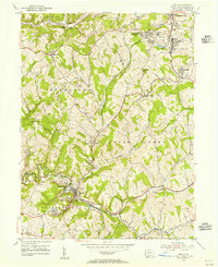
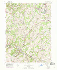
Editions of this 1954 Avella Map
Other maps of this area

1902 · Wheeling
USGS Topo · 1:62,500

1904 · Steubenville
USGS Topo · 1:62,500

1904 · Burgettstown
USGS Topo · 1:62,500

1906 · Burgettstown
USGS Topo · 1:62,500

1907 · Claysville
USGS Topo · 1:62,500

1935 · Wheeling
USGS Topo · 1:62,500

1935 · Steubenville
USGS Topo · 1:62,500

1942 · Wheeling
USGS Topo · 1:62,500

1942 · Steubenville
USGS Topo · 1:62,500

1951 · Canton
USGS Topo · 1:250,000
Featured Places
- Cross Creek Township, PA
- Independence Township, PA
- Jefferson Township, PA
- Hanover Township, PA
- Smith Township, PA