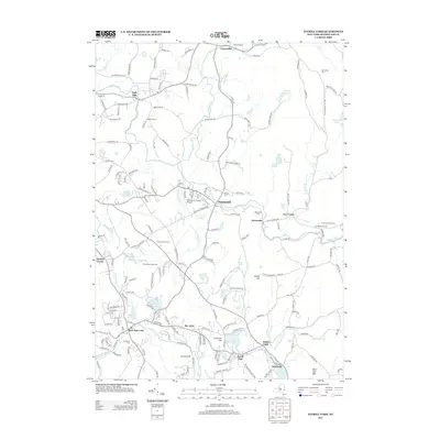
2013 Map of Averill Park
USGS Topo · Published 2013About this map
The town of Poestenkill and the surrounding hamlets of Rensselaer County define this landscape, where the Poesten Kill and Wynants Kill drain a terrain of high ridges and glacial lakes. This 2013 survey details a transition from the denser residential layouts of West Sand Lake and Averill Park to the agricultural reaches of Engelke Farms and Columbia Hill Farm. Local landmarks such as the Rensselaer County Airport and the Pine Bowl Speedway sit alongside significant genealogical sites, including Hillside Cem, Elmwood Cem, and Bonesteel Cem. The map illustrates a complex network of named roads serving historic clusters like Eagle Mills and Cropseyville, while natural features such as Crystal Lake, Glass Lake, and Snake Hill provide a clear view of the area's physical geography.
Find a feature on this map
178 named features on this map. Tap any name to fly to it.
Don’t see what you’re looking for? This feature index may not catch every label — zoom into the map to look around manually.
Map Details
Editions of this 2013 Averill Park Map
This is the sole edition of this map. No revisions or reprints were ever made.
Other maps of this area

1888 · Berlin
USGS Topo · 1:62,500

1890 · Berlin
USGS Topo · 1:62,500

1893 · Cohoes
USGS Topo · 1:62,500

1893 · Troy
USGS Topo · 1:62,500

1894 · Berlin
USGS Topo · 1:62,500

1895 · Troy
USGS Topo · 1:62,500

1895 · Cohoes
USGS Topo · 1:62,500

1897 · Hoosick
USGS Topo · 1:62,500

1898 · Berlin
USGS Topo · 1:62,500

1898 · Cohoes
USGS Topo · 1:62,500