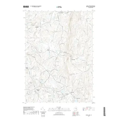
2019 Map of Averill Park
USGS Topo · Published 2019About this map
Poesten Kill and Quacken Kill carve through this Rensselaer County landscape, where the town of Poestenkill serves as a central hub between the hamlets of Cropseyville and Barberville. The 2019 data reveals a settlement pattern heavily influenced by the winding watercourses and the local geography of Snake Hill and Smauder Hill. To the south, the village clusters of West Sand Lake, Averill Park, and Glass Lake center around a series of glacial water bodies, including Crystal Lake and Racquet Lake. For genealogists, the map is particularly useful for locating numerous burial grounds such as Elmwood Cem, Hillside Cem, and Bonesteel Cem. The presence of the Rensselaer County Airport and a dense network of local roads like Farm to Market Rd and Blue Factory Rd indicates the modern connectivity of this historically rural region.
Find a feature on this map
150 named features on this map. Tap any name to fly to it.
Don’t see what you’re looking for? This feature index may not catch every label — zoom into the map to look around manually.
Map Details
Editions of this 2019 Averill Park Map
This is the sole edition of this map. No revisions or reprints were ever made.
Other maps of this area

1888 · Berlin
USGS Topo · 1:62,500

1890 · Berlin
USGS Topo · 1:62,500

1893 · Cohoes
USGS Topo · 1:62,500

1893 · Troy
USGS Topo · 1:62,500

1894 · Berlin
USGS Topo · 1:62,500

1895 · Troy
USGS Topo · 1:62,500

1895 · Cohoes
USGS Topo · 1:62,500

1897 · Hoosick
USGS Topo · 1:62,500

1898 · Berlin
USGS Topo · 1:62,500

1898 · Cohoes
USGS Topo · 1:62,500