Loading...
Loading map...2023 Map of Averill Park
USGS Topo · Published 2023About this map
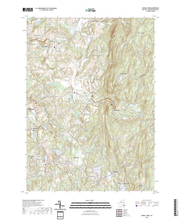
Poesten Kill and Wynants Kill carve through this Rensselaer County landscape, defining the development of hamlets like Poestenkill and Barberville. The map captures a transition from the lower elevations near Wynantskill to the more varied terrain of Snake Hill and Bare Top Mountain. In the central portion, the Rensselaer County Airport sits just south of Cropseyville, while numerous small water bodies like Davit Pond and Links Pond dot the higher ground to the east.
Find a feature on this map
151 named features on this map. Tap any name to fly to it.
Don’t see what you’re looking for? This feature index may not catch every label — zoom into the map to look around manually.
Map Details
Date Portrayed2023
Date Published2023
PublisherU.S. Geological Survey
Map TypeTopographic
Scale1:24000
Physical Dimensions24 x 29 inches
Editions of this 2023 Averill Park Map
This is the sole edition of this map. No revisions or reprints were ever made.
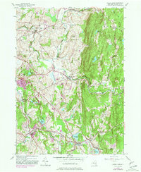
Historical Maps of Poestenkill Through Time
Featured Locations
Source Details
SourceU.S. Geological Survey
CopyrightPublic Domain