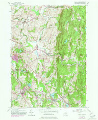
1953 Map of Averill Park
USGS Topo · Published 1981About this map
Averill Park and the neighboring hills of Sand Lake define this Rensselaer County landscape, where the foothills of the Taconic range met mid-century rural development. The terrain is characterized by a high density of water bodies, from Glass Lake and Crystal Lake in the south to the northern reaches of the Quacken Kill. This survey reveals a community in transition, balancing established settlements like Poestenkill and Eagle Mills with modern landmarks of the era. Cultural sites include the Pine Bowl Speedway, the Rensselaer Air Park, and a Drive-in Theater, alongside institutional fixtures like the Pawling Sanatorium. Genealogists will find numerous family-named landmarks and local burial grounds, including the Bonesteel Cem and Hillside Cem, while the rugged elevation of Snake Hill and Smauder Hill dominates the central topography.
Find a feature on this map
54 named features on this map. Tap any name to fly to it.
Don’t see what you’re looking for? This feature index may not catch every label — zoom into the map to look around manually.
Map Details
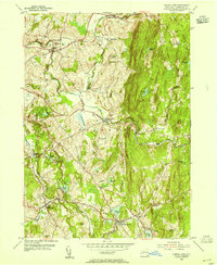
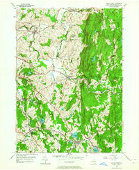
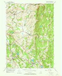
Editions of this 1953 Averill Park Map
4 editions found
Other maps of this area

1888 · Berlin
USGS Topo · 1:62,500

1890 · Berlin
USGS Topo · 1:62,500

1893 · Cohoes
USGS Topo · 1:62,500

1893 · Troy
USGS Topo · 1:62,500

1894 · Berlin
USGS Topo · 1:62,500

1895 · Troy
USGS Topo · 1:62,500

1895 · Cohoes
USGS Topo · 1:62,500

1897 · Hoosick
USGS Topo · 1:62,500

1898 · Berlin
USGS Topo · 1:62,500

1898 · Cohoes
USGS Topo · 1:62,500