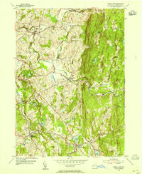
1953 Map of Averill Park
USGS Topo · Published 1955About this map
Poestenkill and the surrounding townships of Rensselaer County are defined by a complex drainage network where the Poesten Kill and Quacken Kill carve through the elevated terrain of Snake Hill and Bare Top Mtn. During the early 1950s, this landscape supported a mix of established village centers and specialized landmarks, including the Pawling Sanitarium and the Pine Bowl Speedway. Local genealogy is well-represented through family-named sites like Bonesteel Cem and the Bonesteel Sch in Grafton, alongside several other community markers such as Hillside Cem and St Marys Ch. The presence of numerous water bodies, from Crystal Lake and Glass Lake in the south to Davitt Pond in the north, suggests a region transitioning into a summer recreational destination while maintaining its traditional agricultural and rural character.
Find a feature on this map
48 named features on this map. Tap any name to fly to it.
Don’t see what you’re looking for? This feature index may not catch every label — zoom into the map to look around manually.
Map Details
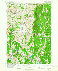
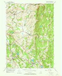
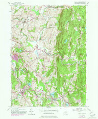
Editions of this 1953 Averill Park Map
4 editions found
Other maps of this area

1888 · Berlin
USGS Topo · 1:62,500

1890 · Berlin
USGS Topo · 1:62,500

1893 · Cohoes
USGS Topo · 1:62,500

1893 · Troy
USGS Topo · 1:62,500

1894 · Berlin
USGS Topo · 1:62,500

1895 · Troy
USGS Topo · 1:62,500

1895 · Cohoes
USGS Topo · 1:62,500

1897 · Hoosick
USGS Topo · 1:62,500

1898 · Berlin
USGS Topo · 1:62,500

1898 · Cohoes
USGS Topo · 1:62,500