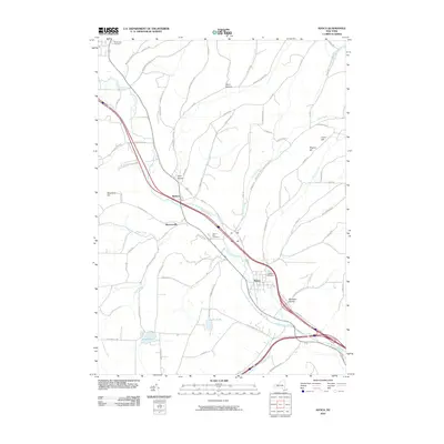
2010 Map of Avoca
USGS Topo · Published 2010About this map
The Cohocton River valley serves as the central artery for this portion of Steuben County, where the village of Avoca and the hamlet of Wallace are situated along its course. This 2010 survey illustrates the persistent agricultural and riparian character of the landscape, defined by a network of hollows such as Lyon Hollow and Avery Hollow that cut through the surrounding uplands. Local genealogy is well-represented by several significant burial grounds, including the Highland Cemetery overlooking Avoca and the Vale of Rest Cemetery near Wallace. The southern reaches of the quadrangle feature established water bodies like Loucks Pond and Smith Pond, while the northern terrain rises toward Waterbury Hill. A dense grid of rural roads, many bearing family names like Rynders Rd and Cosgriff Hill Rd, connects the scattered farmsteads and small settlements that have anchored this valley for generations.
Find a feature on this map
76 named features on this map. Tap any name to fly to it.
Don’t see what you’re looking for? This feature index may not catch every label — zoom into the map to look around manually.
Map Details
Editions of this 2010 Avoca Map
This is the sole edition of this map. No revisions or reprints were ever made.
Other maps of this area

1900 · Naples
USGS Topo · 1:62,500

1902 · Wayland
USGS Topo · 1:62,500

1903 · Naples
USGS Topo · 1:62,500

1904 · Wayland
USGS Topo · 1:62,500

1910 · Bath
USGS Topo · 1:62,500

1913 · Naples
USGS Topo · 1:62,500

1915 · Hornell
USGS Topo · 1:62,500

1918 · Hornell
USGS Topo · 1:62,500

1942 · Wayland
USGS Topo · 1:31,680

1942 · Naples
USGS Topo · 1:31,680