
1942 Map of Naples
USGS Topo · Published 1942About this map
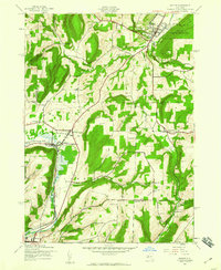
Naples sits at the northern edge of this wartime survey, where the valley floor widens to support the Fair Grounds and early energy exploration marked by several Gas Wells. The landscape is defined by the steep-sided summits of Hatch Hill and Knapp Hill, which channel the movement of people and commerce through narrow corridors like the Tannery Creek valley. To the south, the rail-and-river geography of the Cohocton River corridor becomes prominent, with the Erie RR and D L & W RR serving the concentrated settlements of Atlanta and North Cohocton.
Find a feature on this map
54 named features on this map. Tap any name to fly to it.
Don’t see what you’re looking for? This feature index may not catch every label — zoom into the map to look around manually.
Map Details
Editions of this 1942 Naples Map
4 editions found
Other maps of this area

1900 · Naples
USGS Topo · 1:62,500

1902 · Wayland
USGS Topo · 1:62,500

1903 · Naples
USGS Topo · 1:62,500

1904 · Wayland
USGS Topo · 1:62,500

1910 · Bath
USGS Topo · 1:62,500

1913 · Naples
USGS Topo · 1:62,500

1915 · Hornell
USGS Topo · 1:62,500

1918 · Hornell
USGS Topo · 1:62,500

1942 · Springwater
USGS Topo · 1:31,680

1942 · Wayland
USGS Topo · 1:31,680