
1942 Map of Springwater
USGS Topo · Published 1942About this map
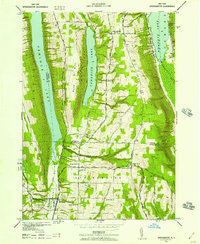
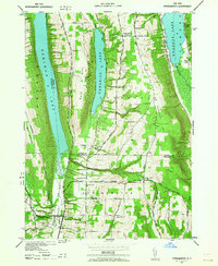
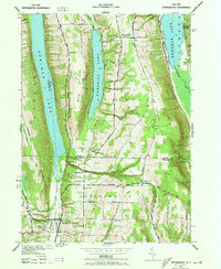
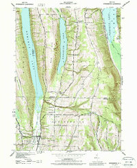
Hemlock Lake, Canadice Lake, and Honeoye Lake define this Finger Lakes landscape, where the town of Springwater sits at the foot of the Springwater Valley. This 1942 survey by the Tennessee Valley Authority and U.S. Army Corps of Engineers shows a rural settlement pattern dominated by numbered schoolhouses and family-named landmarks like Marrowback Hill and Bald Hill. The Erie RR cuts through the valley floor, connecting the agricultural economy to the wider region. High on the ridges, small hamlets like Tabor Corners and Canadice Corners are surrounded by landmarks such as Evergreen Cem and Ford Cem, which offer significant genealogical value. The presence of Willow Beach on the Honeoye shoreline suggests early recreational development alongside traditional farming life in Ontario and Livingston Counties.
Find a feature on this map
40 named features on this map. Tap any name to fly to it.
Don’t see what you’re looking for? This feature index may not catch every label — zoom into the map to look around manually.
Map Details
Editions of this 1942 Springwater Map
5 editions found
Other maps of this area

1900 · Naples
USGS Topo · 1:62,500

1900 · Canandaigua
USGS Topo · 1:62,500

1901 · Honeoye
USGS Topo · 1:62,500

1902 · Wayland
USGS Topo · 1:62,500

1903 · Naples
USGS Topo · 1:62,500

1903 · Canandaigua
USGS Topo · 1:62,500

1904 · Wayland
USGS Topo · 1:62,500

1904 · Honeoye
USGS Topo · 1:62,500

1913 · Naples
USGS Topo · 1:62,500

1942 · Wayland
USGS Topo · 1:31,680