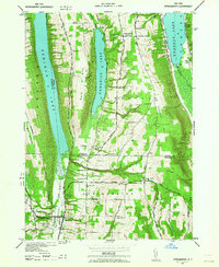
1942 Map of Springwater
USGS Topo · Published 1964About this map
Hemlock Lake, Canadice Lake, and Honeoye Lake dominate this 1942 landscape, where the deep glacial valleys of the Finger Lakes region shape the settlement patterns of Livingston and Ontario Counties. The village of Springwater serves as a southern anchor, situated at the confluence of valley roads and the Erie RR. The map reveals a highly structured rural education system, documented through numerous numbered schoolhouses such as School No 10 and School No 19, reflecting the density of the farming population before mid-century school consolidations.
Find a feature on this map
43 named features on this map. Tap any name to fly to it.
Don’t see what you’re looking for? This feature index may not catch every label — zoom into the map to look around manually.
Map Details
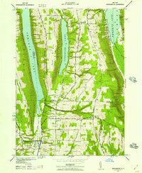
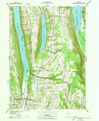
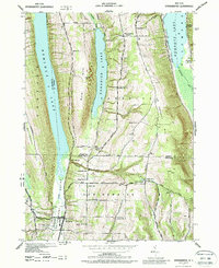
Editions of this 1942 Springwater Map
5 editions found
Other maps of this area

1900 · Naples
USGS Topo · 1:62,500

1900 · Canandaigua
USGS Topo · 1:62,500

1901 · Honeoye
USGS Topo · 1:62,500

1902 · Wayland
USGS Topo · 1:62,500

1903 · Naples
USGS Topo · 1:62,500

1903 · Canandaigua
USGS Topo · 1:62,500

1904 · Wayland
USGS Topo · 1:62,500

1904 · Honeoye
USGS Topo · 1:62,500

1913 · Naples
USGS Topo · 1:62,500

1942 · Springwater
USGS Topo · 1:31,680