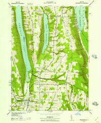
1942 Map of Springwater
USGS Topo · Published 1957About this map
Hemlock Lake and Canadice Lake dominate this 1942 landscape, where steep ridgelines separate the deep glacial basins of the Finger Lakes region. At the southern terminus of the Hemlock basin, the settlement of Springwater serves as a local hub, situated where Springwater Creek flows through the valley floor. The map documents an intensive rural school system during the early war years, with locations ranging from School No 1 in the north to School No 21 near the southern border.
Find a feature on this map
39 named features on this map. Tap any name to fly to it.
Don’t see what you’re looking for? This feature index may not catch every label — zoom into the map to look around manually.
Map Details
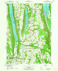
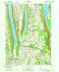
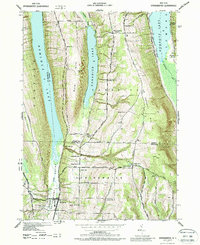
Editions of this 1942 Springwater Map
5 editions found
Other maps of this area

1900 · Naples
USGS Topo · 1:62,500

1900 · Canandaigua
USGS Topo · 1:62,500

1901 · Honeoye
USGS Topo · 1:62,500

1902 · Wayland
USGS Topo · 1:62,500

1903 · Naples
USGS Topo · 1:62,500

1903 · Canandaigua
USGS Topo · 1:62,500

1904 · Wayland
USGS Topo · 1:62,500

1904 · Honeoye
USGS Topo · 1:62,500

1913 · Naples
USGS Topo · 1:62,500

1942 · Springwater
USGS Topo · 1:31,680