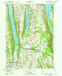
1942 Map of Springwater
USGS Topo · Published 1973About this map
The Springwater Creek Valley serves as the central corridor for this 1942 survey of Ontario and Livingston counties, where a series of deep glacial lakes defines the landscape. While Hemlock Lake, Canadice Lake, and Honeoye Lake dominate the troughs, the high ridges between them are dotted with the infrastructure of a rural school district system, including School No 1 and School No 19. The settlement of Springwater is the primary hub at the southern end of the valley, supported by smaller hamlets such as Tabor Corners and West Canadice Corners. Genealogists will find significant local value in the mapped locations of Evergreen Cem and Mt Vernon Cem. The road network, featuring routes like Reynolds Gully Road and Straight Road, follows the steep topography of Bald Hill and Marrowback Hill, reflecting the era's reliance on these upland passages.
Find a feature on this map
48 named features on this map. Tap any name to fly to it.
Don’t see what you’re looking for? This feature index may not catch every label — zoom into the map to look around manually.
Map Details
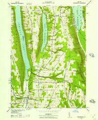
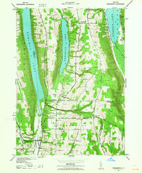
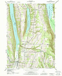
Editions of this 1942 Springwater Map
5 editions found
Other maps of this area

1900 · Naples
USGS Topo · 1:62,500

1900 · Canandaigua
USGS Topo · 1:62,500

1901 · Honeoye
USGS Topo · 1:62,500

1902 · Wayland
USGS Topo · 1:62,500

1903 · Naples
USGS Topo · 1:62,500

1903 · Canandaigua
USGS Topo · 1:62,500

1904 · Wayland
USGS Topo · 1:62,500

1904 · Honeoye
USGS Topo · 1:62,500

1913 · Naples
USGS Topo · 1:62,500

1942 · Springwater
USGS Topo · 1:31,680