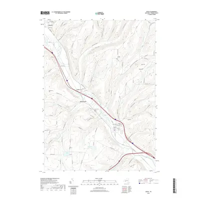
2019 Map of Avoca
USGS Topo · Published 2019About this map
The Cohocton River valley defines the orientation of settlement and transport in this 2019 survey of Steuben County. The village of Avoca serves as a local hub near the southern confluence of Salmon Cr and Goff Creek, while the smaller hamlets of Bloomerville, Wallace, and Cohocton line the northwestern corridor. The terrain is marked by significant elevation changes, with named heights like Waterbury Hill, Wagner Hill, and Cance Hill overlooking narrow drainages such as Lyon Hollow and Avery Hollow.
Find a feature on this map
103 named features on this map. Tap any name to fly to it.
Don’t see what you’re looking for? This feature index may not catch every label — zoom into the map to look around manually.
Map Details
Editions of this 2019 Avoca Map
This is the sole edition of this map. No revisions or reprints were ever made.
Other maps of this area

1900 · Naples
USGS Topo · 1:62,500

1902 · Wayland
USGS Topo · 1:62,500

1903 · Naples
USGS Topo · 1:62,500

1904 · Wayland
USGS Topo · 1:62,500

1910 · Bath
USGS Topo · 1:62,500

1913 · Naples
USGS Topo · 1:62,500

1915 · Hornell
USGS Topo · 1:62,500

1918 · Hornell
USGS Topo · 1:62,500

1942 · Wayland
USGS Topo · 1:31,680

1942 · Naples
USGS Topo · 1:31,680