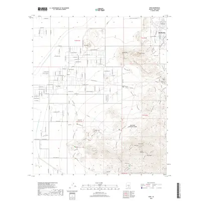
2018 Map of Avra
USGS Topo · Published 2018About this map
Saguaro National Park dominates the eastern landscape of this Pima County quadrangle, where the Tucson Mountains rise sharply above the desert floor. The map documents a striking transition from the protected wilderness of Wasson Peak and Amole Peak to the modern engineering of the Central Arizona Project Aqueduct in the west. Significant cultural and geological landmarks are identified throughout the park, including the petroglyph site at Signal Hill and the narrow passage at Contzen Pass. In the northern reach, the settlement of Marana sits near the base of Twin Peaks, while the residential expansion of Avra Valley spreads across the alluvial plains. This survey details a network of desert drainages like Picture Rocks Wash and Bajada Wash that define the hydrological character of the basin.
Find a feature on this map
117 named features on this map. Tap any name to fly to it.
Don’t see what you’re looking for? This feature index may not catch every label — zoom into the map to look around manually.
Map Details
Editions of this 2018 Avra Map
This is the sole edition of this map. No revisions or reprints were ever made.
Other maps of this area

1925 · San Xavier
USGS Topo · 1:62,500

1934 · Tucson Mountains
USGS Topo · 1:125,000

1941 · Cocoraque Butte
USGS Topo · 1:62,500

1943 · Cocoraque Butte
USGS Topo · 1:62,500

1943 · San Xavier Mission
USGS Topo · 1:62,500

1947 · Cortaro
USGS Topo · 1:62,500

1956 · Tucson
USGS Topo · 1:250,000

1957 · San Xavier Mission
USGS Topo · 1:62,500

1957 · Cortaro
USGS Topo · 1:62,500

1958 · Tucson
USGS Topo · 1:250,000