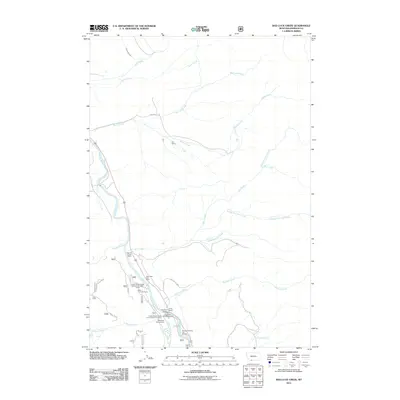
2011 Map of Bad Luck Creek
USGS Topo · Published 2011About this map
Sun Ranch and Squaw Creek Ranch occupy the northern reaches of this Madison County landscape, where the Madison River and its West Fork converge. The area is characterized by significant Forest Service infrastructure and recreational sites concentrated along the river corridor, including the Lyon Work Camp and the West Fork Cow Camp. Travelers and researchers can trace the movement of early 21st-century commerce and conservation at the West Fork Cabins and RV Park and the nearby Hutchins Bridge. The terrain is defined by a dense network of mountain drainage systems such as Papoose Creek, Gazelle Creek, and the namesake Bad Luck Creek, all flowing toward the primary river valleys. Notable landmarks like Gold Butte rise above the drainage basins, while the Cummings Ditch indicates localized water management in this high-country ranching and wilderness environment.
Find a feature on this map
29 named features on this map. Tap any name to fly to it.
Don’t see what you’re looking for? This feature index may not catch every label — zoom into the map to look around manually.
Map Details
Editions of this 2011 Bad Luck Creek Map
This is the sole edition of this map. No revisions or reprints were ever made.
Other maps of this area

1888 · Three Forks
USGS Topo · 1:250,000

1894 · Three Forks
USGS Topo · 1:250,000

1895 · Three Forks
USGS Topo · 1:250,000

1947 · Bozeman
USGS Topo · 1:250,000

1948 · Bozeman
USGS Topo · 1:250,000

1950 · Cliff Lake
USGS Topo · 1:62,500

1950 · Hebgen Dam
USGS Topo · 1:62,500

1950 · Cameron
USGS Topo · 1:62,500

1950 · Sphinx Mountain
USGS Topo · 1:62,500

1955 · Bozeman
USGS Topo · 1:250,000