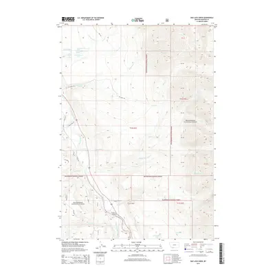
2014 Map of Bad Luck Creek
USGS Topo · Published 2014About this map
Wolf Creek Hot Spring and the Madison River corridor define this 2014 survey of the Madison County high country. The map details a complex hydrologic network feeding into the river system, including Wolf Cr, Bad Luck Cr, and the West Fork Madison River. High-elevation landmarks like Elk Ridge rise above the drainage basins, while the lower elevations show the early irrigation legacy of Cummings Ditch.
Find a feature on this map
46 named features on this map. Tap any name to fly to it.
Don’t see what you’re looking for? This feature index may not catch every label — zoom into the map to look around manually.
Map Details
Editions of this 2014 Bad Luck Creek Map
This is the sole edition of this map. No revisions or reprints were ever made.
Other maps of this area

1888 · Three Forks
USGS Topo · 1:250,000

1894 · Three Forks
USGS Topo · 1:250,000

1895 · Three Forks
USGS Topo · 1:250,000

1947 · Bozeman
USGS Topo · 1:250,000

1948 · Bozeman
USGS Topo · 1:250,000

1950 · Cliff Lake
USGS Topo · 1:62,500

1950 · Hebgen Dam
USGS Topo · 1:62,500

1950 · Cameron
USGS Topo · 1:62,500

1950 · Sphinx Mountain
USGS Topo · 1:62,500

1955 · Bozeman
USGS Topo · 1:250,000