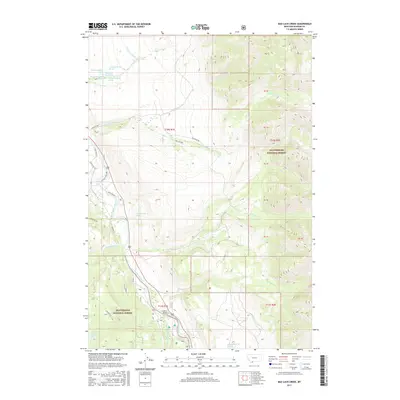
2017 Map of Bad Luck Creek
USGS Topo · Published 2017About this map
Wolf Creek Hot Spring and a series of nearby springs define the northern reaches of this Montana landscape, where the waters of Wolf Cr flow toward the primary valley floor. The hydrology of the region is further shaped by human intervention and naming, from the Cummings Ditch irrigation works to the confluence of the Madison River and its West Fork Madison River. This transition from the river valley into the high elevations of the Beaverhead National Forest is marked by the crossing at Hutchins Bridge, a key point of transit in an area dominated by ranching and forest access roads like Shelton Ranch Rd. To the east, the terrain rises sharply toward Gold Butte, with numerous drainage systems including Bad Luck Creek and the various forks of Sun Cr carving through the mountain blocks.
Find a feature on this map
48 named features on this map. Tap any name to fly to it.
Don’t see what you’re looking for? This feature index may not catch every label — zoom into the map to look around manually.
Map Details
Editions of this 2017 Bad Luck Creek Map
This is the sole edition of this map. No revisions or reprints were ever made.
Other maps of this area

1888 · Three Forks
USGS Topo · 1:250,000

1894 · Three Forks
USGS Topo · 1:250,000

1895 · Three Forks
USGS Topo · 1:250,000

1947 · Bozeman
USGS Topo · 1:250,000

1948 · Bozeman
USGS Topo · 1:250,000

1950 · Cliff Lake
USGS Topo · 1:62,500

1950 · Hebgen Dam
USGS Topo · 1:62,500

1950 · Cameron
USGS Topo · 1:62,500

1950 · Sphinx Mountain
USGS Topo · 1:62,500

1955 · Bozeman
USGS Topo · 1:250,000