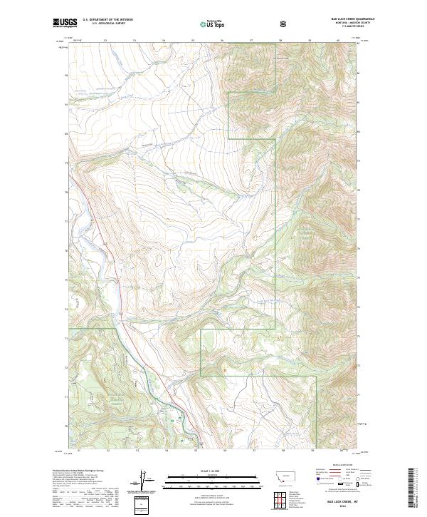
2024 Map of Bad Luck Creek
USGS Topo · Published 2024About this map
The Madison River corridor and its confluence with the West Fork Madison River define this high-elevation landscape in Madison County. Much of the eastern and southern terrain is protected within the Lee Metcalf Wilderness and the Beaverhead National Forest, where steep drainages like North Fork Sun Creek and Middle Fork Sun Creek flow toward the river valley. The presence of Wolf Creek Hot Spring in the northwest corner suggests the geothermal activity typical of this region, while infrastructure like Cummings Ditch and roads such as Sun Ranch Rd and Sun West Ranch mark the transition from wild forest to managed land. Significant topographic features including Gold Butte and Alex Diekmann Peak overlook a complex network of waterways, from the eponymous Bad Luck Creek to the secluded Secret Lakes.
Find a feature on this map
44 named features on this map. Tap any name to fly to it.
Don’t see what you’re looking for? This feature index may not catch every label — zoom into the map to look around manually.
Map Details
Editions of this 2024 Bad Luck Creek Map
This is the sole edition of this map. No revisions or reprints were ever made.
Other maps of this area

1888 · Three Forks
USGS Topo · 1:250,000

1894 · Three Forks
USGS Topo · 1:250,000

1895 · Three Forks
USGS Topo · 1:250,000

1947 · Bozeman
USGS Topo · 1:250,000

1948 · Bozeman
USGS Topo · 1:250,000

1950 · Cliff Lake
USGS Topo · 1:62,500

1950 · Hebgen Dam
USGS Topo · 1:62,500

1950 · Cameron
USGS Topo · 1:62,500

1950 · Sphinx Mountain
USGS Topo · 1:62,500

1955 · Bozeman
USGS Topo · 1:250,000