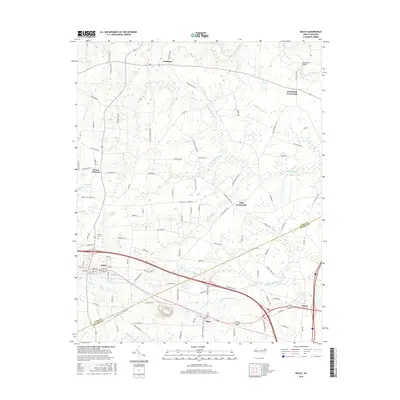
2016 Map of Bailey
USGS Topo · Published 2016About this map
Bloomery Swamp and Toisnot Swamp define the low-lying drainage patterns of this coastal plain landscape along the Nash and Wilson County border. The town of Bailey serves as a primary hub, organized around a traditional street grid including Deans St and Vance St, while the community of Sims sits further southeast. The area is characterized by a high density of named crossroads and small settlements like Stanhope, Strickland Crossroads, and High Crossroads, suggesting a history of decentralized rural agriculture and localized commerce.
Find a feature on this map
101 named features on this map. Tap any name to fly to it.
Don’t see what you’re looking for? This feature index may not catch every label — zoom into the map to look around manually.
Map Details
Editions of this 2016 Bailey Map
This is the sole edition of this map. No revisions or reprints were ever made.
Other maps of this area

1902 · Kenly
USGS Topo · 1:62,500

1902 · Rocky Mount
USGS Topo · 1:62,500

1902 · Spring Hope
USGS Topo · 1:62,500

1903 · Kenly
USGS Topo · 1:62,500

1904 · Rocky Mount
USGS Topo · 1:62,500

1904 · Springhope
USGS Topo · 1:62,500

1904 · Wilson
USGS Topo · 1:62,500

1953 · Rocky Mount
USGS Topo · 1:250,000

1953 · Raleigh
USGS Topo · 1:250,000

1954 · Rocky Mount
USGS Topo · 1:250,000