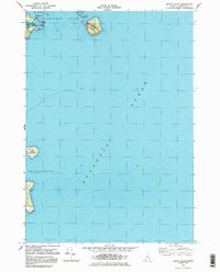
1983 Map of Baker Island
USGS Topo · Published 1983About this map
Great Cranberry Island and its smaller neighbors define this maritime survey of the Cranberry Isles and Frenchboro waters. The landscape is dominated by the rocky outcroppings and low hills of the outer islands, including Dolly Hill and Bunker Head. On Baker Island, which falls within Acadia National Park, a Lighthouse and the Gilley Cem stand as significant cultural markers of long-term coastal habitation. To the south, Great Duck Island is shown with its isolated Landing Strip and navigational beacon, reflecting the necessity of air and sea coordination in this remote part of the Atlantic Ocean. The detailed bathymetry surrounding Baker Island Bar and The Pool illustrates the treacherous shallow passages that have historically challenged local mariners navigating between these exposed landmasses.
Find a feature on this map
19 named features on this map. Tap any name to fly to it.
Don’t see what you’re looking for? This feature index may not catch every label — zoom into the map to look around manually.
Map Details
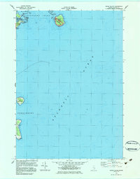
Editions of this 1983 Baker Island Map
2 editions found
Other maps of this area

1904 · Mount Desert
USGS Topo · 1:62,500

1904 · Swan Island
USGS Topo · 1:62,500

1904 · Bar Harbor
USGS Topo · 1:62,500

1942 · Bar Harbor
USGS Topo · 1:62,500

1942 · Mount Desert
USGS Topo · 1:62,500

1943 · Swans Island
USGS Topo · 1:62,500

1945 · Swans Island
USGS Topo · 1:62,500

1948 · Bangor
USGS Topo · 1:250,000

1956 · Bar Harbor
USGS Topo · 1:62,500

1956 · Mount Desert
USGS Topo · 1:62,500