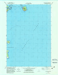
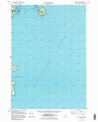
1983 Map of Baker Island
USGS Topo · Published 1983About this map
Baker Island and its surrounding archipelago define this maritime survey of the Cranberry Isles and Frenchboro waters. The map details the transition between land and the Atlantic Ocean, featuring the southern tip of Cranberry Island with its prominent Bunker Head and the inlet known as The Pool. Family history is anchored at the Gilley Cem on Baker Island, which also contains a portion of Acadia National Park and a lighthouse. Further south, the remote Great Duck Island is shown with its own Landing Strip and maritime infrastructure. The intricate coastline includes features like Deadman Point and the submerged Baker Island Bar, providing a snapshot of the Maine coast's navigational hazards and isolated island settlements during the early 1980s.
Find a feature on this map
19 named features on this map. Tap any name to fly to it.
Don’t see what you’re looking for? This feature index may not catch every label — zoom into the map to look around manually.
Map Details
Editions of this 1983 Baker Island Map
2 editions found
Other maps of this area

1904 · Mount Desert
USGS Topo · 1:62,500

1904 · Swan Island
USGS Topo · 1:62,500

1904 · Bar Harbor
USGS Topo · 1:62,500

1942 · Bar Harbor
USGS Topo · 1:62,500

1942 · Mount Desert
USGS Topo · 1:62,500

1943 · Swans Island
USGS Topo · 1:62,500

1945 · Swans Island
USGS Topo · 1:62,500

1948 · Bangor
USGS Topo · 1:250,000

1956 · Bar Harbor
USGS Topo · 1:62,500

1956 · Mount Desert
USGS Topo · 1:62,500