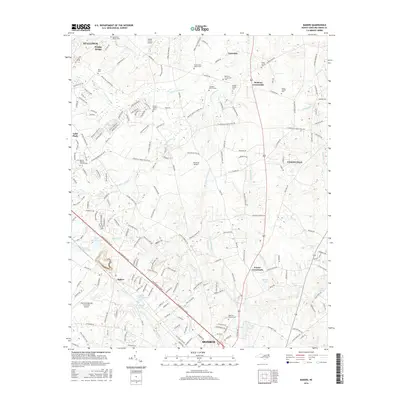
2016 Map of Bakers
USGS Topo · Published 2016About this map
Monroe and its northern outskirts are the focus of this 2016 survey, where the suburban transition meets the established rural landscapes of Union County. The area is marked by a significant concentration of family and church burial grounds, including the Benton Family Cem, Broom Family Cem, and Union Grove Church Cem, reflecting deep ancestral ties to the land. The northern portion of the quadrangle shows the community of Unionville and the junction at Bentons Crossroads.
Find a feature on this map
208 named features on this map. Tap any name to fly to it.
Don’t see what you’re looking for? This feature index may not catch every label — zoom into the map to look around manually.
Map Details
Editions of this 2016 Bakers Map
This is the sole edition of this map. No revisions or reprints were ever made.
Other maps of this area

1941 · Charlotte
USGS Topo · 1:125,000

1941 · Spartanburg
USGS Topo · 1:250,000

1942 · Charlotte
USGS Topo · 1:125,000

1949 · Wilgrove
USGS Topo · 1:24,000

1949 · Midland
USGS Topo · 1:24,000

1953 · Spartanburg
USGS Topo · 1:250,000

1953 · Charlotte
USGS Topo · 1:250,000

1954 · Charlotte
USGS Topo · 1:250,000

1960 · Charlotte
USGS Topo · 1:250,000

1960 · Spartanburg
USGS Topo · 1:250,000