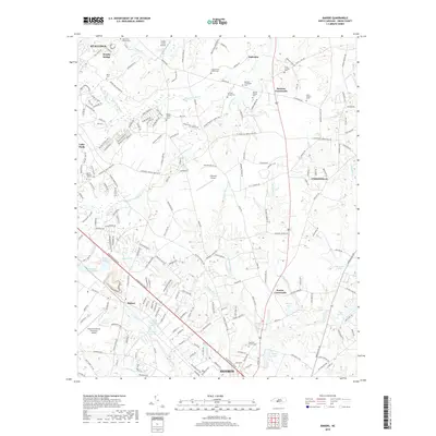
2019 Map of Bakers
USGS Topo · Published 2019About this map
Monroe and its northern rural outskirts are defined by a network of historic family-named crossroads and small-scale aviation facilities in this modern topographic study. The landscape transition from the city of Monroe toward Unionville is marked by numerous family burial grounds and small community sanctuaries, including the Broom Family Cem, Benton Family Cem, and High Hill Church Cem. The terrain is drained by a complex system of creeks such as Bearskin Cr and the S Fork Crooked Cr, which historically shaped the placement of settlements like Hemby Bridge and Stallings. Local aviation is a notable feature of this region, with the Charlotte-Monroe Executive Airport, Goose Creek Airport, and Edwards Airport all positioned within a short distance of one another, reflecting the area's development as a suburban and transportation hub for Union County.
Find a feature on this map
211 named features on this map. Tap any name to fly to it.
Don’t see what you’re looking for? This feature index may not catch every label — zoom into the map to look around manually.
Map Details
Editions of this 2019 Bakers Map
This is the sole edition of this map. No revisions or reprints were ever made.
Other maps of this area

1941 · Charlotte
USGS Topo · 1:125,000

1941 · Spartanburg
USGS Topo · 1:250,000

1942 · Charlotte
USGS Topo · 1:125,000

1949 · Wilgrove
USGS Topo · 1:24,000

1949 · Midland
USGS Topo · 1:24,000

1953 · Spartanburg
USGS Topo · 1:250,000

1953 · Charlotte
USGS Topo · 1:250,000

1954 · Charlotte
USGS Topo · 1:250,000

1960 · Charlotte
USGS Topo · 1:250,000

1960 · Spartanburg
USGS Topo · 1:250,000