Loading...
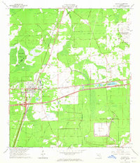
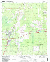
Loading map...1964 Map of Baldwin
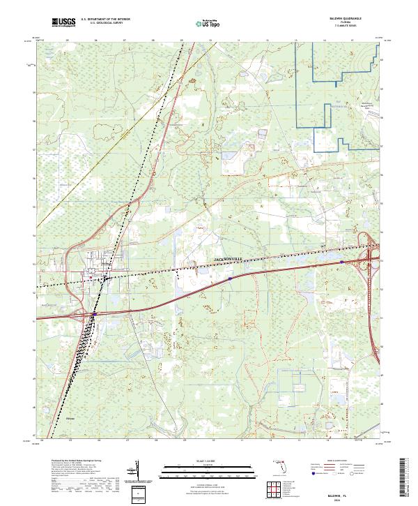
USGS Topo · Published 1965About this map
Baldwin serves as a critical rail junction during the mid-1960s, where the Seaboard Air Line and Atlantic Coast Line intersect in western Duval County. This transportation hub is defined by its industrial and military character, featuring several radio and communication structures including the Radio Towers (WAPE) and a Lookout Tower. The settlement includes a High Sch and a local Drive-in Theater, reflecting the mid-century community life alongside the busy rail corridors.
Find a feature on this map
20 named features on this map. Tap any name to fly to it.
Don’t see what you’re looking for? This feature index may not catch every label — zoom into the map to look around manually.
Map Details
Date Portrayed1964
Date Published1965
PublisherU.S. Geological Survey
Map TypeTopographic
Scale1:24000
Physical Dimensions23 x 26.8 inches
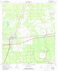
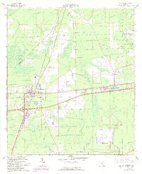
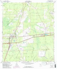
Editions of this 1964 Baldwin Map
4 editions found
Historical Maps of Jacksonville Through Time
Featured Locations
Source Details
SourceU.S. Geological Survey
CopyrightPublic Domain