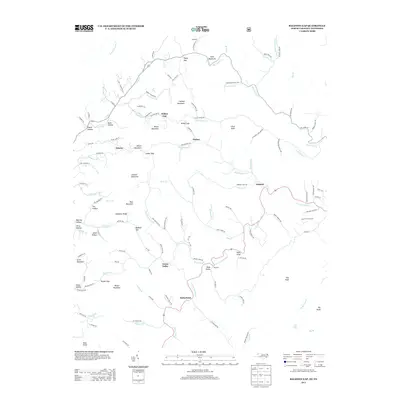
2013 Map of Baldwin Gap
USGS Topo · Published 2013About this map
The N Fork New River carves through the mountain landscape of northwestern Ashe County, serving as the central geographic feature for the scattered settlements and ridges documented in 2013. The area is defined by high-elevation landmarks such as The Peak and Pond Mountain, with the community of Ashland situated near the river's eastern bend. Local infrastructure follows the winding terrain, connecting smaller pockets like Green Valley and Sutherland via roads that often trace the path of creeks like Brush Fork and Roundabout Cr.
Find a feature on this map
132 named features on this map. Tap any name to fly to it.
Don’t see what you’re looking for? This feature index may not catch every label — zoom into the map to look around manually.
Map Details
Editions of this 2013 Baldwin Gap Map
This is the sole edition of this map. No revisions or reprints were ever made.
Other maps of this area

1891 · Abingdon
USGS Topo · 1:125,000

1893 · Cranberry
USGS Topo · 1:125,000

1894 · Abingdon
USGS Topo · 1:125,000

1895 · Cranberry
USGS Topo · 1:125,000

1899 · Cranberry
USGS Topo · 1:125,000

1902 · Cranberry
USGS Topo · 1:125,000

1909 · Abingdon
USGS Topo · 1:96,000

1911 · Abingdon
USGS Topo · 1:125,000

1935 · Grayson
USGS Topo · 1:24,000

1935 · Park
USGS Topo · 1:24,000