
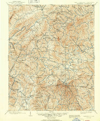
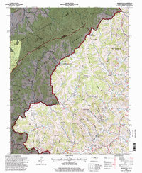
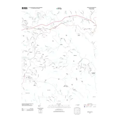
1899 Map of Cranberry
USGS Topo · Published 1899About this map
Mountain City and the high ridges of the Blue Ridge Mountains dominate this late 19th-century landscape, where the state boundary between North Carolina and Tennessee follows the crest of the Iron Mountain range. The region's early industrial and agricultural footprint is visible through specialized labels like Rhea Forge and several mills, including Shills Mill and Eli Mills. Transportation in the 1890s relied on rugged mountain passages like Baldwin Gap and the prominent Yonhalossee Road winding toward the southern end of the sheet. For genealogists and local historians, the map documents numerous small communities and post offices such as Vaughtsville, Shount Crossroads, and Zionville before modern road networks bypassed these highland settlements. The drainage patterns of the Watauga River and Doe River further define the intricate terrain of this Appalachian borderland.
Find a feature on this map
172 named features on this map. Tap any name to fly to it.
Don’t see what you’re looking for? This feature index may not catch every label — zoom into the map to look around manually.
Map Details
Editions of this 1899 Cranberry Map
This is the sole edition of this map. No revisions or reprints were ever made.
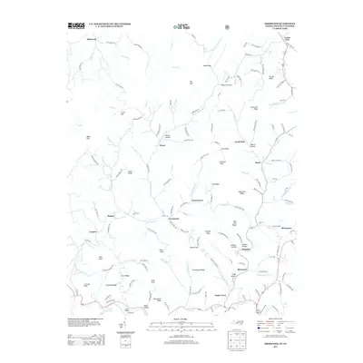
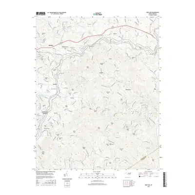
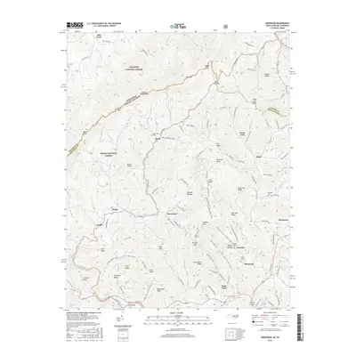
Historical Maps of Boone Through Time
19 maps found

1893 Cranberry
Watauga County, NC

1895 Cranberry
Watauga County, NC
1899 Cranberry
Watauga County, NC
1902 Cranberry
Watauga County, NC
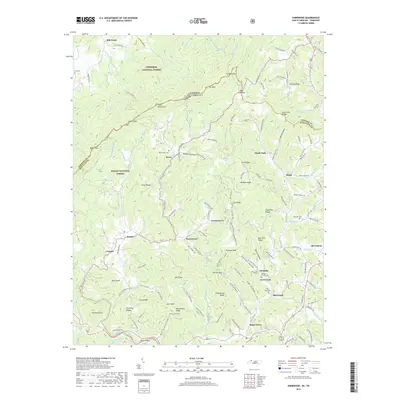
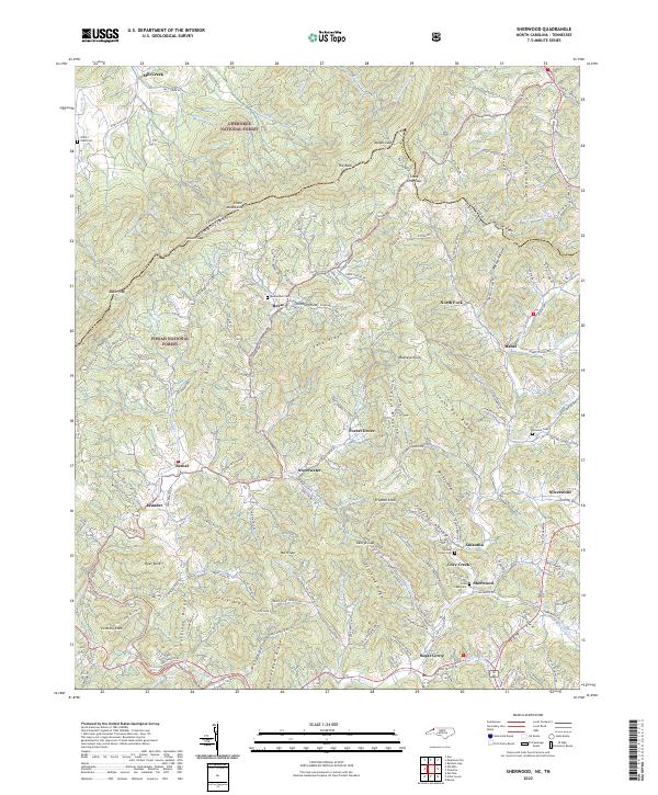
1935 Sherwood
Watauga County, NC
1938 Sherwood
Watauga County, NC
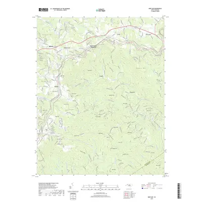
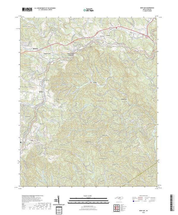
1967 Deep Gap
Watauga County, NC
1994 Sherwood
Watauga County, NC
1998 Deep Gap
Watauga County, NC
2010 Deep Gap
Watauga County, NC
2011 Sherwood
Watauga County, NC
2013 Deep Gap
Watauga County, NC
2013 Sherwood
Watauga County, NC
2016 Deep Gap
Watauga County, NC
2016 Sherwood
Watauga County, NC
2019 Deep Gap
Watauga County, NC
2019 Sherwood
Watauga County, NC
2022 Deep Gap
Watauga County, NC
2022 Sherwood
Watauga County, NC