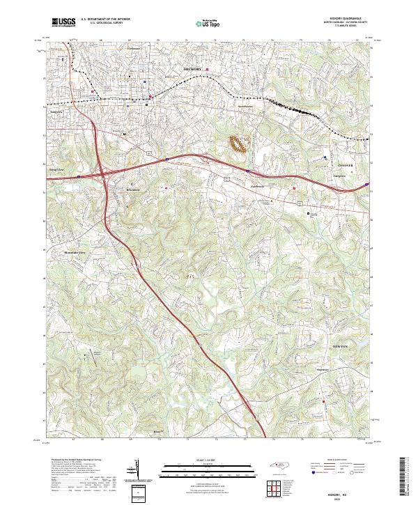
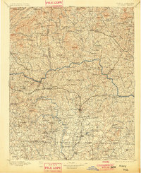
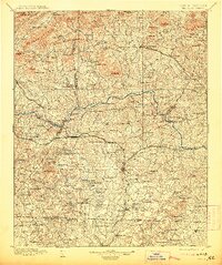
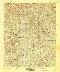
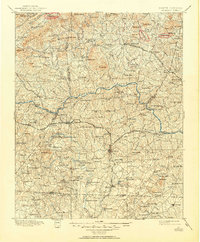
1895 Map of Hickory
USGS Topo · Published 1895About this map
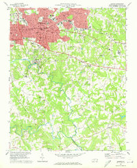
Hickory and Newton serve as the primary hubs of the North Carolina foothills in this late nineteenth-century portrait of Catawba Co. and its neighbors. The landscape is defined by the winding course of the Catamba River and its South Fork Catawba River, which powered a dense network of nineteenth-century industry including Etowah Mill, Bells Mill, and a Cotton Factory near Maiden. The arrival of the Southern R. R. and the Western North Carolina Div. transformed the region from isolated mountain foothills into a manufacturing and transit corridor.
Find a feature on this map
210 named features on this map. Tap any name to fly to it.
Don’t see what you’re looking for? This feature index may not catch every label — zoom into the map to look around manually.
Map Details
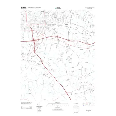
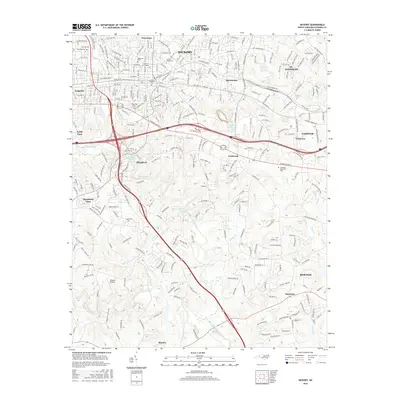
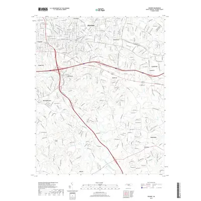
Editions of this 1895 Hickory Map
5 editions found
Historical Maps of Hickory Through Time
9 maps found