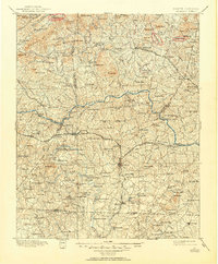
1895 Map of Hickory
USGS Topo · Published 1950About this map
The Catawba River and its major forks bisect this late 19th-century landscape, serving as both a barrier and a source of industry for the Piedmont. Before the modern era of dams and highway bridges, the river was crossed by a network of river crossings including White Ferry, Lewis Ferry, and the Toll Bridge north of Hickory. The region's early manufacturing roots are evident in the concentration of water-powered sites such as Etowah Mill and a Cotton Factory located near Maiden.
Find a feature on this map
194 named features on this map. Tap any name to fly to it.
Don’t see what you’re looking for? This feature index may not catch every label — zoom into the map to look around manually.
Map Details
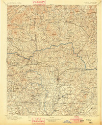
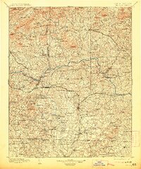
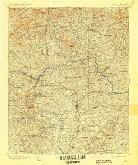
Editions of this 1895 Hickory Map
5 editions found
Other maps of this area

1889 · Wilkesboro
USGS Topo · 1:125,000

1891 · Wilkesboro
USGS Topo · 1:125,000

1891 · Yadkinville
USGS Topo · 1:125,000

1893 · Cranberry
USGS Topo · 1:125,000

1893 · Statesville
USGS Topo · 1:125,000

1893 · Yadkinville
USGS Topo · 1:125,000

1895 · Hickory
USGS Topo · 1:125,000

1895 · Cranberry
USGS Topo · 1:125,000

1899 · Cranberry
USGS Topo · 1:125,000

1902 · Cranberry
USGS Topo · 1:125,000