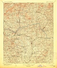
1895 Map of Hickory
USGS Topo · Published 1913About this map
The Catawba River and its major tributaries, the South Fork Catawba River and Jacob Fork, define this late 19th-century landscape of the North Carolina foothills. At this time, the region was a dense network of water-powered industry and river crossings, evidenced by numerous structures like Cloninger Mill and Whiteners Mill, alongside essential transit points like Little Ferry and Oxford Ford.
Find a feature on this map
227 named features on this map. Tap any name to fly to it.
Don’t see what you’re looking for? This feature index may not catch every label — zoom into the map to look around manually.
Map Details
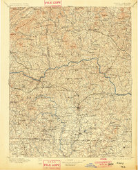
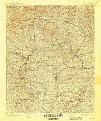
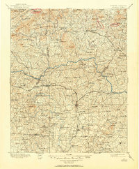
Editions of this 1895 Hickory Map
5 editions found
Other maps of this area

1889 · Wilkesboro
USGS Topo · 1:125,000

1891 · Wilkesboro
USGS Topo · 1:125,000

1891 · Yadkinville
USGS Topo · 1:125,000

1893 · Cranberry
USGS Topo · 1:125,000

1893 · Statesville
USGS Topo · 1:125,000

1893 · Yadkinville
USGS Topo · 1:125,000

1895 · Hickory
USGS Topo · 1:125,000

1895 · Cranberry
USGS Topo · 1:125,000

1899 · Cranberry
USGS Topo · 1:125,000

1902 · Cranberry
USGS Topo · 1:125,000