Loading...
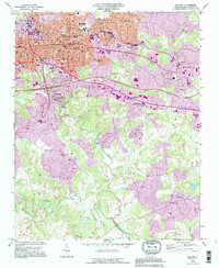
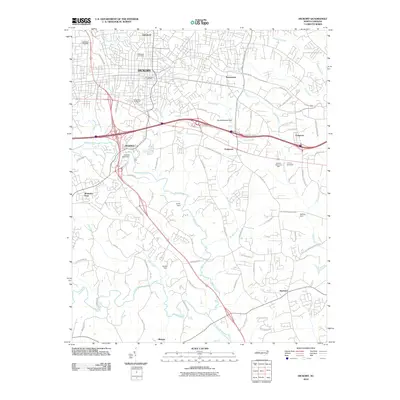
Loading map...1993 Map of Hickory
USGS Topo · Published 1996About this map
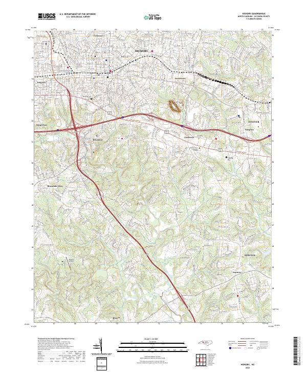
Lenoir Rhyne College serves as a prominent educational anchor in the northern portion of this map, reflecting the academic and cultural growth of Hickory during the late 20th century. The landscape is defined by the convergence of the Henry Fork and Jacob Fork, which join to form the South Fk Catawba River at the southern edge of the survey. Significant suburban expansion is visible in purple revisions, reaching toward communities like Viewmont, Longview, and Startown.
Find a feature on this map
54 named features on this map. Tap any name to fly to it.
Don’t see what you’re looking for? This feature index may not catch every label — zoom into the map to look around manually.
Map Details
Date Portrayed1993
Date Published1996
PublisherU.S. Geological Survey
Map TypeTopographic
Scale1:24,000
Physical Dimensions21.9 x 26.8 inches
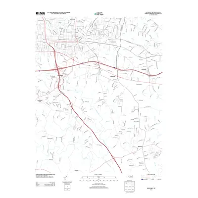
Editions of this 1993 Hickory Map
This is the sole edition of this map. No revisions or reprints were ever made.
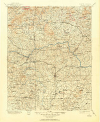
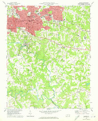
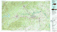
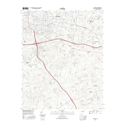
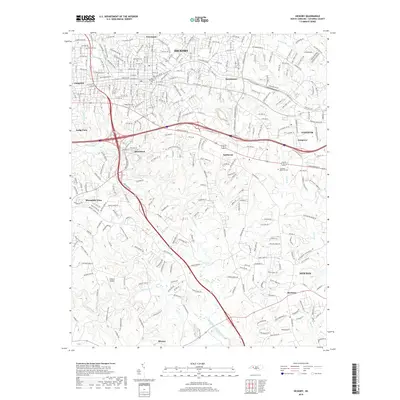
Historical Maps of Hickory Through Time
9 maps found
Featured Locations
Source Details
SourceU.S. Geological Survey
CopyrightPublic Domain