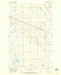
1958 Map of Balfour
USGS Topo · Published 1959About this map
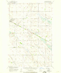
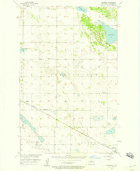
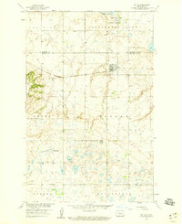
The prairie landscape of McHenry County is defined by the sweeping course of the Wintering River and the prominent glacial landform known as Hogback Ridge. At the heart of this 1950s survey is the town of Balfour, a hub established along the Minneapolis St Paul and Sault Ste Marie railroad. The map captures a moment of transition for rural infrastructure, specifically noting the School No 1 (Abandoned) in the northwestern section, a common sight as mid-century school consolidation began to alter the local social fabric. To the south, the terrain softens into the Wintering Flats and gives way to numerous wetlands and water bodies, most notably Cottonwood Lake. This survey was conducted as part of the Department of the Interior program for the development of the Missouri River Basin, reflecting the era's focus on land and water resource management in the Great Plains.
Find a feature on this map
12 named features on this map. Tap any name to fly to it.
Don’t see what you’re looking for? This feature index may not catch every label — zoom into the map to look around manually.
Map Details
Editions of this 1958 Balfour Map
This is the sole edition of this map. No revisions or reprints were ever made.
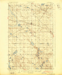
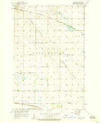
Other maps of this area
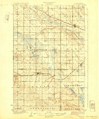
1929 · Balfour
USGS Topo · 1:62,500
1930 · Drake
USGS Topo · 1:62,500

1954 · Minot
USGS Topo · 1:250,000

1954 · McClusky
USGS Topo · 1:250,000
1957 · Bergen
USGS Topo · 1:24,000
1957 · Karlsruhe
USGS Topo · 1:24,000
1957 · Rangeley
USGS Topo · 1:24,000

1958 · McClusky
USGS Topo · 1:250,000

1958 · Minot
USGS Topo · 1:250,000
1958 · Butte
USGS Topo · 1:24,000