Loading...
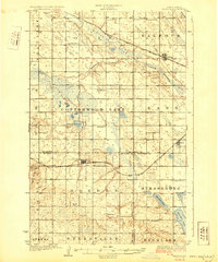
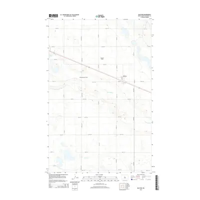
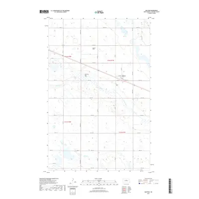
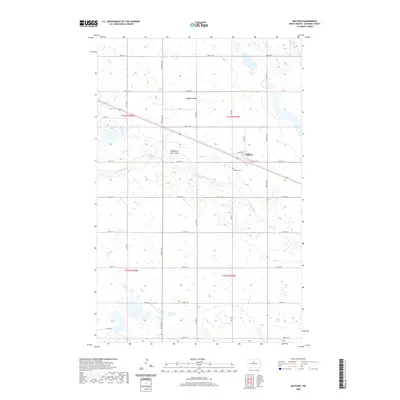
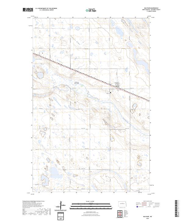
Loading map...1929 Map of Balfour
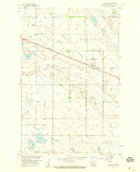
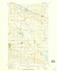
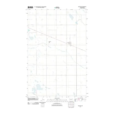
USGS Topo · Published 1929About this map
Balfour and the surrounding prairie of McHenry County are defined by the steady path of the Minneapolis St Paul and Sault Ste Marie railroad in the late 1920s. This survey, coordinated by State Engineer H.C. Frahm, captures a landscape of scattered rural schoolhouses, including Fleming School and numerous unnamed district schools like School No 1 and School No 3, which served the farming townships of Strassburg, Byersville, and Aurena.
Find a feature on this map
29 named features on this map. Tap any name to fly to it.
Don’t see what you’re looking for? This feature index may not catch every label — zoom into the map to look around manually.
Map Details
Date Portrayed1929
Date Published1929
PublisherU.S. Geological Survey
Map TypeTopographic
Scale1:62,500
Physical Dimensions16.5 x 19.8 inches
Editions of this 1929 Balfour Map
This is the sole edition of this map. No revisions or reprints were ever made.
Historical Maps of Butte Through Time
8 maps found
Featured Locations
Source Details
SourceU.S. Geological Survey
CopyrightPublic Domain