Old Maps of McHenry County, North Dakota
Explore 381 old maps of McHenry County, spanning from 1929 to today. These high-resolution historic maps reveal how streets, neighborhoods, landmarks, and natural features evolved over time — perfect for genealogy, metal detecting, research, and local history exploration.
What you can do with these maps:
- See how McHenry County changed over time: Compare historical maps to modern-day views to trace roads, homesites, rail lines & more.
- View detailed metadata: Each map includes creators, publishers, year, scale, and archive source.
- Overlay maps with satellite & LiDAR: Visualize the past alongside modern tools to explore terrain & human change.
- Trusted historical sources: Maps sourced from the USGS, Library of Congress, and other archives.
- Access maps your way: View online, download high-res files, or order prints for personal or research use.
Start exploring old maps of McHenry County to uncover forgotten places, hidden landmarks, and the deep history beneath your feet.
McHenry County, ND maps
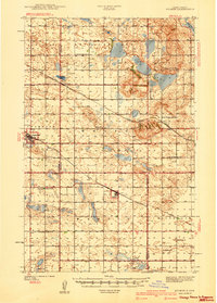
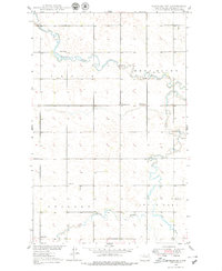
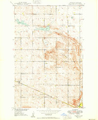
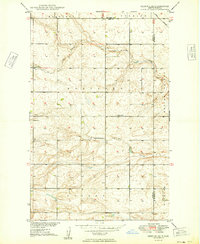
(381)- 1929 Map of Sawyer
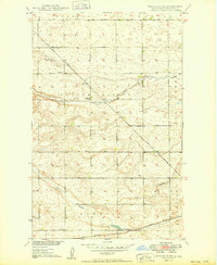
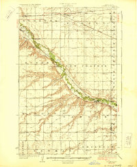 1929 Sawyer1929 Print · USGSWard County's prairie and river valleys are captured here in the late 1920s as the rail-and-river economy flourished. Genealogists can trace rural school districts like School No 2 and School No 3 or locate early river crossings such as the Saugstad Bridge.2 unique versions available
 - 1929 Map of Kongsberg
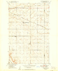
 1929 Kongsberg1929 Print · USGSThe North Dakota prairie near the McHenry and McLean county line is shown here in the late twenties as a network of rail-bound villages and rural schools. You can trace the Soo Line railroad to Kongsberg or locate family-named landmarks like Woodhill Sch and Dogden Butte.2 unique versions available
 - 1929 Map of Balfour
 1929 Balfour1929 Print · USGSNorth Dakota's central plains in the late twenties reveal a landscape of homesteads and rail towns along the Minneapolis St Paul and Sault Ste Marie. Genealogists can locate rural schoolhouses like Fleming School and trace the shores of Cottonwood Lake or Krueger Lake.
 - 1930 Map of Drake
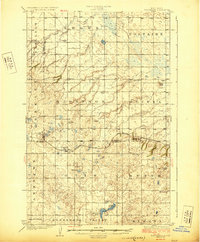
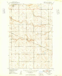
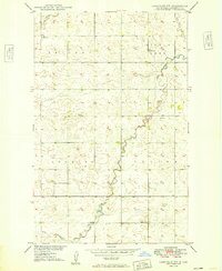
 1930 Drake1930 Print · USGSRailroad expansion in the late twenties centered on Drake, where two major lines met amidst the prairie potholes. Genealogists can trace early rural life through a dense network of numbered schools and landmarks like Schiller Hall and Kandt Lake.
 - 1940 Map of Aylmer
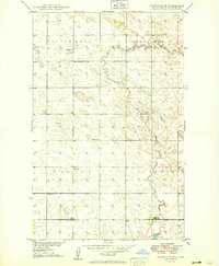
 1940 Aylmer1940 Print · USGSPierce and Sheridan Counties come into focus just before the war, showing the peak of the North Dakota rail-and-prairie economy. Genealogists can pinpoint exact locations for family landmarks like Hillsdale Ch, White Sch, and Martin Cem.3 unique versions available
 - 1948 Map of Voltaire, 1955 Print
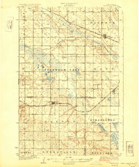
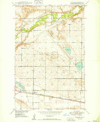
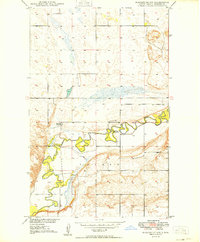
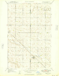
 1948 Voltaire1955 Print · USGSThe northern plains of McHenry County come alive in the late 1940s, showing the intersection of the Souris River and the high prairie. Researchers can locate the Hjerdal Ch, rural schoolhouses like Roach Sch, and the rail siding at Voltaire.7 unique versions available
 - 1948 Map of Velva, 1966 Print
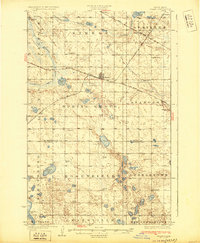
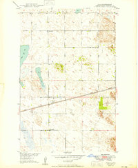
 1948 Velva1966 Print · USGSNorth Dakota's prairie landscape comes alive in this post-war survey of McHenry and Ward Counties, where the Souris River dictates the path of early rail and settlement. Genealogists and historians can trace numerous rural landmarks, including Shenkjer Cem, Howe School, and the community of Velva.
 - 1948 Map of Sawyer, 1966 Print
 1948 Sawyer1966 Print · USGSNorth Dakota's prairie landscape is defined by the winding Souris River and the rail-driven growth of Sawyer just after the war. Genealogists and local historians can locate the Mennonite Ch, Sawyer Cem, and the old Schilling Bridge.
 - 1948 Map of Newburg SW, 1976 Print
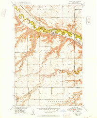
 1948 Newburg SW1976 Print · USGSThe rural prairie of McHenry County is captured here just after the war, showing the intricate meanders of the Deep River. Local historians can trace family roots through landmarks like the Lutheran Cem, St Paul Cem, and several early schoolhouses.
 - 1949 Map of Norwich
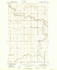
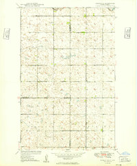
 1949 Norwich1949 Print · USGSThe Great Northern railroad cuts through McHenry County in the late 1940s, anchoring a landscape of isolated farmsteads and rural townships. Genealogists and local historians can trace the foundations of this prairie community through landmarks like North Prairie Ch and School No 1.
 - 1949 Map of Granville NE
 1949 Granville NE1949 Print · USGSMcHenry County farm country at the end of the 1940s reveals a quiet landscape of prairie townships and scattered rural schoolhouses. Genealogists can locate family landmarks such as Barnes Sch, the Saline Ch, and North Lake School No 4.
 - 1949 Map of Sawyer
 1949 Sawyer1949 Print · USGSNear the mid-century mark, the Souris River valley in Ward County supported a network of rural schools and townships. Genealogists can trace the locations of Roosevelt Sch No 1 and Lignite Sch No 3 or the Mennonite Ch near Sawyer.
 - 1949 Map of Simcoe
 1949 Simcoe1949 Print · USGSMcHenry County in the late 1940s shows a landscape of rail-driven prairie settlements and a dense network of country schools. Genealogists can locate family landmarks like Strenkjer Cem and follow the Great Northern tracks through Simcoe.
 - 1949 Map of Sawyer NE
 1949 Sawyer NE1949 Print · USGSThe high North Dakota prairie in the late 1940s was a land of expanding railroads and rural school districts. Genealogists and historians can trace the early layout of farming communities via Grassland School No 1, Grassland School No 2, and the Great Northern rail line.
 - 1949 Map of Newburg SW
 1949 Newburg SW1949 Print · USGSNorth Dakota's McHenry County prairie unfolds in the late 1940s, showing a rural landscape shaped by the Deep River and its tributary coulees. Genealogists and local historians can trace the foundations of the community through sites like Deep River Ch, St Paul Cem, and School No 1.
 - 1949 Map of Velva
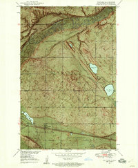
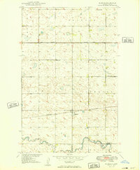
 1949 Velva1949 Print · USGSThe Souris River valley in the late 1940s was a critical junction for rail and river transport in McHenry and Ward counties. Researchers can trace the path of the Minneapolis St Paul and Sault Ste Marie railroad and find rural landmarks like Coulee Sch and Potters Lake.2 unique versions available
 - 1949 Map of Deering SE
 1949 Deering SE1949 Print · USGSNorth Dakota's prairie townships in Ward and McHenry counties are captured here just after the war. Researchers can locate rural landmarks like Baptist Cemetery, School No 1, and the winding Egg Creek.
 - 1949 Map of Voltaire
 1949 Voltaire1949 Print · USGSMcHenry County at the end of the 1940s shows a landscape of river-bend farms and small-town rail commerce. Genealogists can locate family landmarks like Hjerdal Ch, Westgaard Cem, and rural schoolhouses such as Roach Sch.2 unique versions available
 - 1949 Map of Granville NW
 1949 Granville NW1949 Print · USGSMcHenry County at the end of the 1940s reveals a prairie landscape meticulously organized by the Missouri River Basin development program. Genealogists can trace rural community centers including St. Olaf Ch, Saline Cem, and Barton Sch.
 - 1949 Map of Riga
 1949 Riga1949 Print · USGSMcHenry County prairie life in the late 1940s is centered on the Great Northern rail line and the small hub of Riga. Researchers can locate several rural schoolhouses and the Thompson Cem among the glacial waters of Buffalo Lake.
 - 1949 Map of Granville SW
 1949 Granville SW1949 Print · USGSMcHenry County is documented here in the late 1940s, showing a landscape of rural schoolhouses and the rail line at Norwich. Genealogists and local historians can locate early community hubs like Rising Ch and family-named features like Kottke Valley.
 - 1949 Map of Karlsruhe NW
 1949 Karlsruhe NW1949 Print · USGSThe North Dakota prairie near the mid-century shows a landscape of winding river bends and rural school districts. Researchers can trace local heritage at Trinity Cem or locate the historic school sites of Oak Valley School No 1 and Oak Valley School No 2.
 - 1949 Map of Eckman SE
 1949 Eckman SE1949 Print · USGSMcHenry County at the close of the 1940s reveals a structured prairie landscape during the Missouri River Basin development era. Genealogists and local historians can locate early rural landmarks like Our Savior Church, School No 1, and the meandering Deep River.2 unique versions available
 - 1949 Map of Eckman
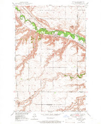
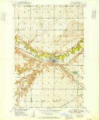
 1949 Eckman1949 Print · USGSNear the border of Bottineau and McHenry counties in the late 1940s, this prairie landscape highlights a vital rail junction. Genealogists can locate rural landmarks like Betania Ch, Riverside Cem, and the intersection of two major western railroads at Eckman.
 - 1949 Map of Deering
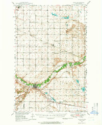
 1949 Deering1949 Print · USGSDeering and the surrounding prairie were firmly established agricultural hubs by the late 1940s. Genealogists and researchers can trace the diagonal route of the Great Northern railroad and locate historical sites like Nidarose Ch and Bethel Cem.2 unique versions available
Showing maps 1-25 of 381
Top cities of McHenry County
- Velva historical maps
- Towner historical maps
- Drake historical maps
- Anamoose historical maps
- Granville historical maps
- Upham historical maps
See more
Frequently asked questions
- What are the different types of historical maps available for McHenry County?
- What is the oldest map of McHenry County?
- Where can I purchase historical maps of McHenry County for my home or office?
- Where can I download high-res historical maps of McHenry County?
- Are there historical topographic maps available for McHenry County?
- Is there historical aerial imagery available for McHenry County?
- Where are historical maps of McHenry County sourced from?