Old Maps of Kief, North Dakota
Explore 19 old maps of Kief, spanning from 1929 to today. These high-resolution historic maps reveal how streets, neighborhoods, landmarks, and natural features evolved over time — perfect for genealogy, metal detecting, research, and local history exploration.
What you can do with these maps:
- See how Kief changed over time: Compare historical maps to modern-day views to trace roads, homesites, rail lines & more.
- View detailed metadata: Each map includes creators, publishers, year, scale, and archive source.
- Overlay maps with satellite & LiDAR: Visualize the past alongside modern tools to explore terrain & human change.
- Trusted historical sources: Maps sourced from the USGS, Library of Congress, and other archives.
- Access maps your way: View online, download high-res files, or order prints for personal or research use.
Start exploring old maps of Kief to uncover forgotten places, hidden landmarks, and the deep history beneath your feet.
Kief, ND maps
(19)- 1929 Map of Balfour
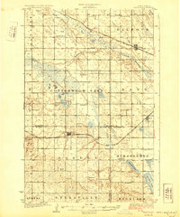 1929 Balfour1929 Print · USGSNorth Dakota's central plains in the late twenties reveal a landscape of homesteads and rail towns along the Minneapolis St Paul and Sault Ste Marie. Genealogists can locate rural schoolhouses like Fleming School and trace the shores of Cottonwood Lake or Krueger Lake.
 - 1930 Map of Drake
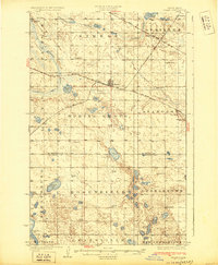 1930 Drake1930 Print · USGSRailroad expansion in the late twenties centered on Drake, where two major lines met amidst the prairie potholes. Genealogists can trace early rural life through a dense network of numbered schools and landmarks like Schiller Hall and Kandt Lake.
 - 1954 Map of McClusky, 1968 Print
 1954 McClusky1968 Print · USGSCentral North Dakota was undergoing a profound transformation in the fifties as the newly formed Lake Sakakawea reshaped the Missouri River valley. Genealogists and historians can trace rail-town development along the Soo Line and locate historic markers like Garrison Dam or the Lewis and Clark Trail.3 unique versions available
 - 1958 Map of McClusky
 1958 McClusky1958 Print · USGSCentral North Dakota was undergoing a profound change in the late fifties as the Garrison Reservoir filled behind its massive new dam. Trace the early layout of Riverdale, the Lewis and Clark Trail, and the vanishing rail stops of the Northern Pacific.
 - 1958 Map of Drake, 1959 Print
 1958 Drake1959 Print · USGSCentral North Dakota was a landscape of rail-connected prairie towns and scattered farmstead schools in the late fifties. Genealogists and historians can trace the specific locations of Drake, Anamoose, and rural landmarks like the Sons of Herman Cem or Rosenfield Ch.
 - 1958 Map of Balfour, 1959 Print
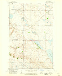
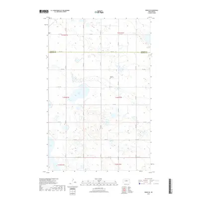
 1958 Balfour1959 Print · USGSCentral North Dakota was a landscape of rail-connected grain towns and glacial sloughs in the late fifties. Genealogists and local historians can trace family locations near Balfour, Kief, and Butte, or locate rural landmarks like Strassburg Sch No 2 and Kief Cem.
 - 1958 Map of Drake SW, 1959 Print
 1958 Drake SW1959 Print · USGSThe Sheridan and McHenry county line runs through this prairie landscape in the late fifties, showing a rural community tied to its land and water. Researchers can trace local history through Rosenfield Ch, Rosenfield School No 2, and the shores of Kandt Lake.
 - 1958 Map of Kief, 1959 Print
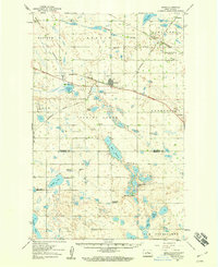
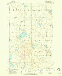
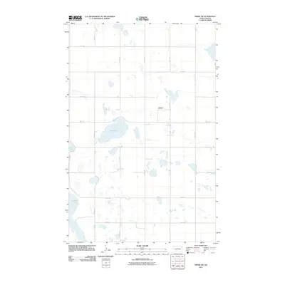
 1958 Kief1959 Print · USGSThe prairie landscape of McHenry County is captured in the late fifties, showing the interplay between the Minneapolis Sault Ste Marie and St Paul rail line and the glacial lakes. Genealogists can locate rural landmarks like Strassburg Sch No 2 and Kief Cem near the town of Kief.
 - 1979 Map of Drake, 1980 Print
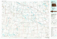 1979 Drake1980 Print · USGSCentral North Dakota in the late seventies reveals a landscape of prairie potholes and developing water infrastructure. Trace the rail-fed growth of Drake and Anamoose or locate rural landmarks like the McClusky Canal and Lincoln Valley.
 - 2011 Map of Kief, 2011 Print
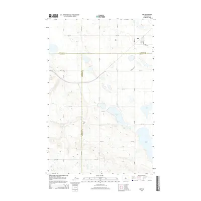
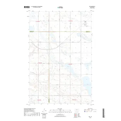
 2011 Kief2011 Print · USGSCovers Kief, including McHenry County, McLean County, and other nearby areas
 - 2011 Map of Drake SW, 2011 Print
 2011 Drake SW2011 Print · USGSCovers Kief, including McHenry County, Sheridan County, and other nearby areas
 - 2014 Map of Drake SW, 2014 Print
 2014 Drake SW2014 Print · USGSCovers Kief, including McHenry County, Sheridan County, and other nearby areas
 - 2014 Map of Kief, 2014 Print
 2014 Kief2014 Print · USGSCovers Kief, including McHenry County, McLean County, and other nearby areas
 - 2018 Map of Drake SW, 2018 Print
 2018 Drake SW2018 Print · USGSCovers Kief, including McHenry County, Sheridan County, and other nearby areas
 - 2018 Map of Kief, 2018 Print
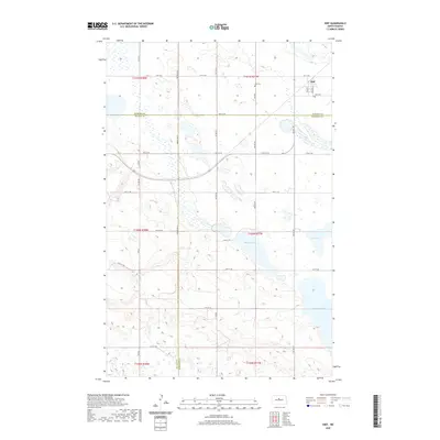
 2018 Kief2018 Print · USGSCovers Kief, including McHenry County, McLean County, and other nearby areas
 - 2020 Map of Drake SW, 2020 Print
 2020 Drake SW2020 Print · USGSCovers Kief, including McHenry County, Sheridan County, and other nearby areas
 - 2020 Map of Kief, 2020 Print
 2020 Kief2020 Print · USGSCovers Kief, including McHenry County, McLean County, and other nearby areas
 - 2024 Map of Drake SW, 2024 Print
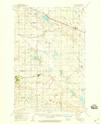
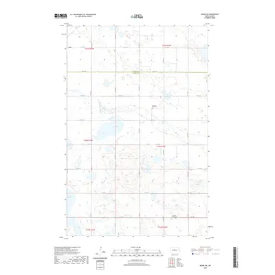
 2024 Drake SW2024 Print · USGSSheridan County in the late modern era remains a landscape of high-plains wetlands and structured township grids. Genealogists and local historians can locate early prairie landmarks like Rosenfeld Baptist Cem or trace the water levels of Kandt Lake.
 - 2024 Map of Kief, 2024 Print
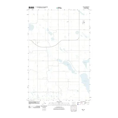
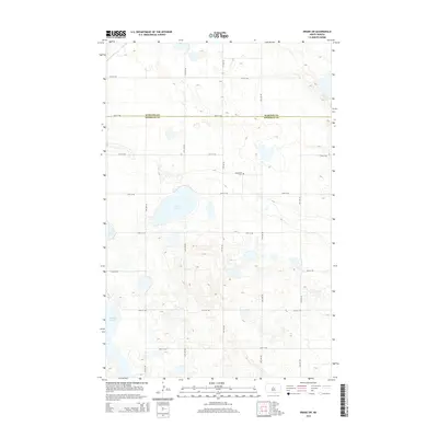
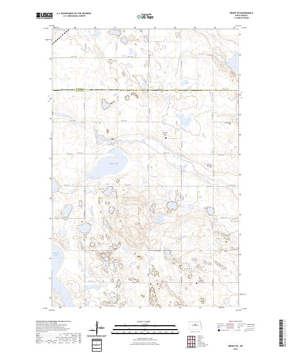
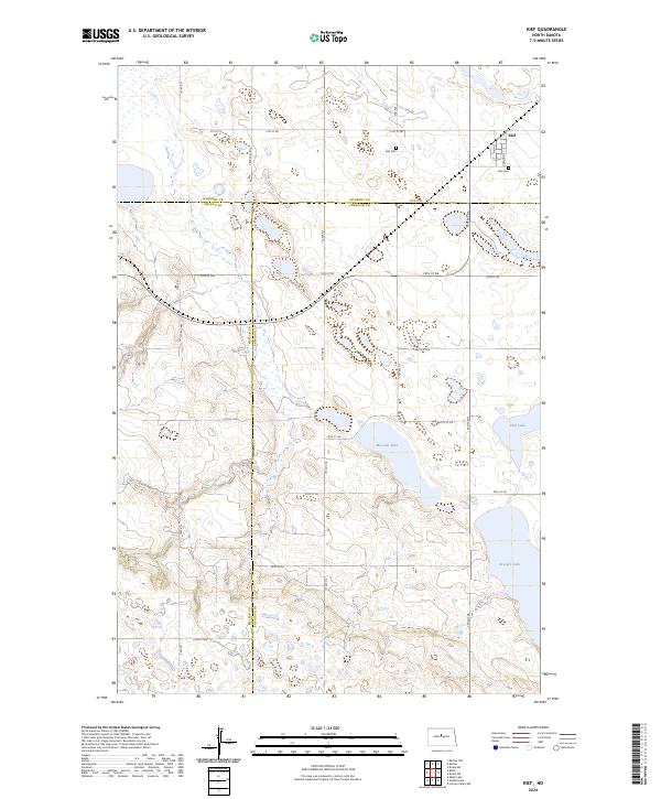 2024 Kief2024 Print · USGSKief and its surrounding prairie wetlands are captured here in the early twenty-first century as the agricultural and conservation rhythms of North Dakota continue. Genealogists and local historians can locate the Kief Cem and trace rural section roads leading to Krueger Lake or the Sheridan County Waterfowl Production Area.
End of results
Showing maps 1-19 of 19
Top cities near Kief
- Drake historical maps
- Karlsruhe historical maps
- Butte historical maps
- Balfour historical maps
- Bergen historical maps
Frequently asked questions
- What are the different types of historical maps available for Kief?
- What is the oldest map of Kief?
- Where can I purchase historical maps of Kief for my home or office?
- Where can I download high-res historical maps of Kief?
- Are there historical topographic maps available for Kief?
- Is there historical aerial imagery available for Kief?
- Where are historical maps of Kief sourced from?