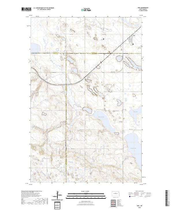
2024 Map of Kief
USGS Topo · Published 2024About this map
Kief stands as the primary settlement on this central North Dakota landscape, situated at the intersection of Main St and Addition St. The area's social and community history is anchored by the Kief Cem, located just south of the town center. The terrain is defined by a dense network of prairie potholes and larger water bodies, including Krueger Lake, Moesner Lake, and Ebel Lake. These wetlands provide critical habitat, formally recognized in the central portion of the map by the Sheridan County Waterfowl Production Area. A complex grid of township and section roads, such as Center Ave N and 30th St NE, cross the jurisdictional boundaries of McHenry, McLean, and Sheridan Counties, reflecting the rural agricultural organization of the region.
Find a feature on this map
37 named features on this map. Tap any name to fly to it.
Don’t see what you’re looking for? This feature index may not catch every label — zoom into the map to look around manually.
Map Details
Editions of this 2024 Kief Map
This is the sole edition of this map. No revisions or reprints were ever made.
Other maps of this area

1929 · Balfour
USGS Topo · 1:62,500

1930 · Drake
USGS Topo · 1:62,500

1945 · Pelican Lake
USGS Topo · 1:62,500

1947 · Pelican Lake
USGS Topo · 1:62,500

1947 · Lincoln Valley
USGS Topo · 1:62,500

1954 · McClusky
USGS Topo · 1:250,000

1958 · McClusky
USGS Topo · 1:250,000

1958 · Butte
USGS Topo · 1:24,000
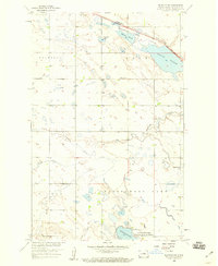
1958 · Balfour NW
USGS Topo · 1:24,000

1958 · Drake
USGS Topo · 1:62,500