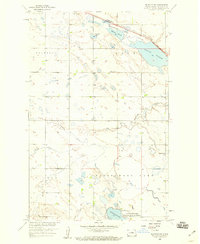
1958 Map of Balfour NW
USGS Topo · Published 1959About this map
Wintering River and its associated wetlands define the character of this McHenry County landscape in the late 1950s. The northern portion of the map is dominated by the Minneapolis St Paul and Sault Ste Marie railroad, which cuts through the Flats near Connia Slough. This region, part of the Missouri River Basin development program, showcases a transition from prairie agriculture to protected habitat, most notably at the Cottonwood Lake National Wildlife Refuge.
Find a feature on this map
19 named features on this map. Tap any name to fly to it.
Don’t see what you’re looking for? This feature index may not catch every label — zoom into the map to look around manually.
Map Details
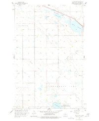
Editions of this 1958 Balfour NW Map
2 editions found
Other maps of this area

1929 · Kongsberg
USGS Topo · 1:62,500

1929 · Balfour
USGS Topo · 1:62,500

1948 · Voltaire
USGS Topo · 1:24,000

1948 · Velva
USGS Topo · 1:62,500

1949 · Voltaire
USGS Topo · 1:24,000

1951 · Velva
USGS Topo · 1:62,500

1954 · Minot
USGS Topo · 1:250,000

1954 · McClusky
USGS Topo · 1:250,000

1957 · Bergen
USGS Topo · 1:24,000

1957 · Karlsruhe
USGS Topo · 1:24,000