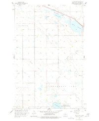
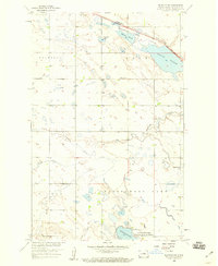
1958 Map of Balfour NW
USGS Topo · Published 1978About this map
Wintering River meanders across this McHenry County landscape, defining a terrain of wetlands and prairie flats during the late 1950s. The northern reaches are marked by the Minneapolis St Paul and Sault Ste Marie railroad, which parallels a series of water features including Stevens Slough and the expansive Connia Slough. This area is characterized by its glacial hydrology, where Paulson Lake and numerous unnamed potholes sit between the townships of Voltaire, Odin, and Olivia. Local life is anchored by the Bergen Cem and several locations of School No 2, reflecting the rural section-line settlement pattern of the era. The southern portion of the map highlights conservation efforts at the Cottonwood Lake National Wildlife Refuge, which surrounds the waters of Cottonwood Lake.
Find a feature on this map
18 named features on this map. Tap any name to fly to it.
Don’t see what you’re looking for? This feature index may not catch every label — zoom into the map to look around manually.
Map Details
Editions of this 1958 Balfour NW Map
2 editions found
Other maps of this area

1929 · Kongsberg
USGS Topo · 1:62,500

1929 · Balfour
USGS Topo · 1:62,500

1948 · Voltaire
USGS Topo · 1:24,000

1948 · Velva
USGS Topo · 1:62,500

1949 · Voltaire
USGS Topo · 1:24,000

1951 · Velva
USGS Topo · 1:62,500

1954 · Minot
USGS Topo · 1:250,000

1954 · McClusky
USGS Topo · 1:250,000

1957 · Bergen
USGS Topo · 1:24,000

1957 · Karlsruhe
USGS Topo · 1:24,000