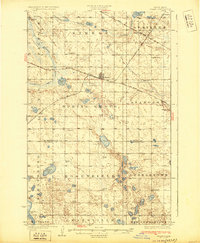
1930 Map of Drake
USGS Topo · Published 1930About this map
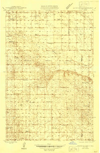
Great Northern and Minneapolis St Paul and Sault Ste Marie rail lines intersect at Drake, creating a vital transportation hub in central North Dakota during the late 1920s. This survey, conducted by C.L. Sadler and Daniel Kennedy, reveals a landscape of prairie potholes and wetlands, punctuated by Bentley Lake, Kandt Lake, and the meandering Wintering River. The map meticulously records the rural social structure of the era, marking numerous one-room schoolhouses such as School No 1 and School No 2 across townships like Spring Grove and Rosenfield. In Anamoose, the presence of a Town Hall suggests a community center of local governance, while Schiller Hall to the north in Schiller township indicates a localized social gathering point for the surrounding farming families. The terrain is characterized by subtle elevations like Montgomery Hill, overlooking a network of section-line roads that define the region's agricultural layout.
Find a feature on this map
45 named features on this map. Tap any name to fly to it.
Don’t see what you’re looking for? This feature index may not catch every label — zoom into the map to look around manually.
Map Details
Editions of this 1930 Drake Map
This is the sole edition of this map. No revisions or reprints were ever made.
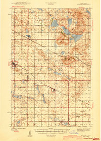
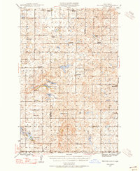
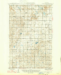
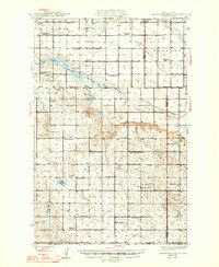
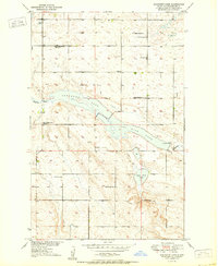
Other maps of this area
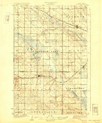
1929 · Balfour
USGS Topo · 1:62,500
1940 · Aylmer
USGS Topo · 1:62,500
1945 · Pelican Lake
USGS Topo · 1:62,500
1946 · Sheyenne Lake
USGS Topo · 1:48,000

1947 · Pelican Lake
USGS Topo · 1:62,500
1947 · Lincoln Valley
USGS Topo · 1:62,500
1947 · Sheyenne Lake
USGS Topo · 1:62,500
1950 · Sheyenne Lake
USGS Topo · 1:24,000

1951 · Anamoose SW
USGS Topo · 1:24,000

1954 · Minot
USGS Topo · 1:250,000