Loading...
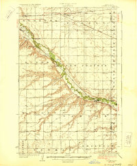
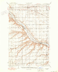
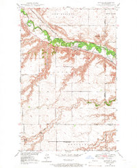
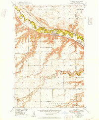
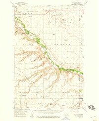
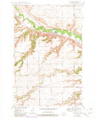
Loading map...1929 Map of Sawyer
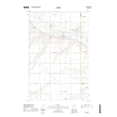
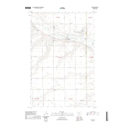
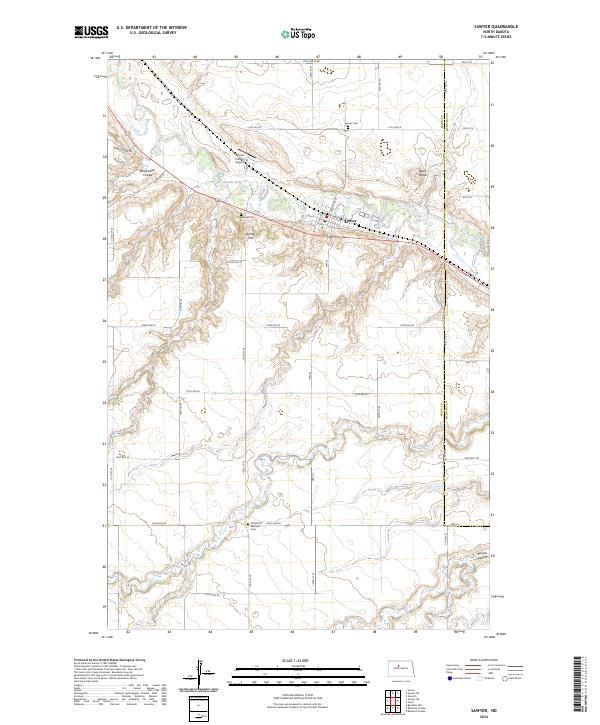
USGS Topo · Published 1929About this map
The Souris River cuts a deep, winding valley across this central Ward County landscape, creating a sharp contrast between the river bottom and the surrounding North Prairie. Two major rail lines dominate the transport geography: the Great Northern runs along the northern edge through Surrey, while the Minneapolis St Paul and Sault Ste Marie follows the river's path, serving the settlements of Logan and Sawyer.
Find a feature on this map
26 named features on this map. Tap any name to fly to it.
Don’t see what you’re looking for? This feature index may not catch every label — zoom into the map to look around manually.
Map Details
Date Portrayed1929
Date Published1929
PublisherU.S. Geological Survey
Map TypeTopographic
Scale1:62,500
Physical Dimensions16.5 x 20 inches
Editions of this 1929 Sawyer Map
2 editions found
Historical Maps of Minot Through Time
10 maps found
Featured Locations
Source Details
SourceU.S. Geological Survey
CopyrightPublic Domain