
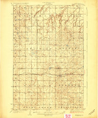
1929 Map of Benedict
USGS Topo · Published 1929About this map
Benedict serves as the central hub of this prairie landscape, situated along the vital corridor of the Minneapolis St Paul and Sault Ste Marie railroad. The geography is defined by a dense network of numbered school districts, such as School No 1 and School No 4, which were the social anchors for farming families in the late 1920s. This survey, conducted under State Engineer H.C. Frahm, captures the region just before the mid-century shifts in rural population and land use.
Find a feature on this map
21 named features on this map. Tap any name to fly to it.
Don’t see what you’re looking for? This feature index may not catch every label — zoom into the map to look around manually.
Map Details
Editions of this 1929 Benedict Map
3 editions found
Other maps of this area

1922 · Garrison
USGS Topo · 1:62,500

1928 · Minot
USGS Topo · 1:62,500

1929 · Sawyer
USGS Topo · 1:62,500

1929 · Coleharbor
USGS Topo · 1:62,500

1929 · Kongsberg
USGS Topo · 1:62,500

1947 · Turtle Lake
USGS Topo · 1:62,500

1948 · Velva
USGS Topo · 1:62,500

1948 · Sawyer
USGS Topo · 1:24,000

1949 · Sawyer
USGS Topo · 1:24,000

1949 · Velva
USGS Topo · 1:24,000