
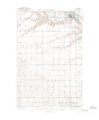
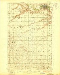
1928 Map of Minot
USGS Topo · Published 1928About this map
The Souris River carves a deep valley through the northern half of this 1920s survey, dictating the expansion of Minot and its early industrial infrastructure. The city center is a hub for two major rail lines, the Great Northern Railway and the Minneapolis Sault Ste Marie and Atlantic Railway, which parallel the river and connect the region to wider markets. Beyond the burgeoning urban grid and the Fair Grounds, the landscape transitions into a systematic grid of rural school districts, including School No 1 and School No 2 scattered across Burlington and Harrison townships.
Find a feature on this map
30 named features on this map. Tap any name to fly to it.
Don’t see what you’re looking for? This feature index may not catch every label — zoom into the map to look around manually.
Map Details
Editions of this 1928 Minot Map
Other maps of this area

1929 · Sawyer
USGS Topo · 1:62,500

1929 · Benedict
USGS Topo · 1:62,500

1948 · Burlington
USGS Topo · 1:24,000

1948 · Burlington
USGS Topo · 1:62,500

1948 · Minot NW
USGS Topo · 1:24,000

1948 · Surrey
USGS Topo · 1:24,000

1949 · Minot NW
USGS Topo · 1:24,000

1949 · Deering SW
USGS Topo · 1:24,000

1949 · Burlington SE
USGS Topo · 1:24,000

1949 · Surrey
USGS Topo · 1:24,000