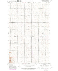
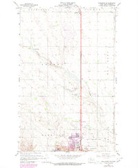
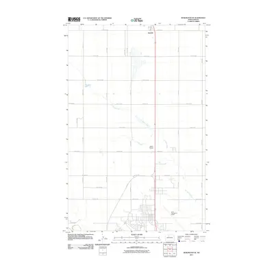
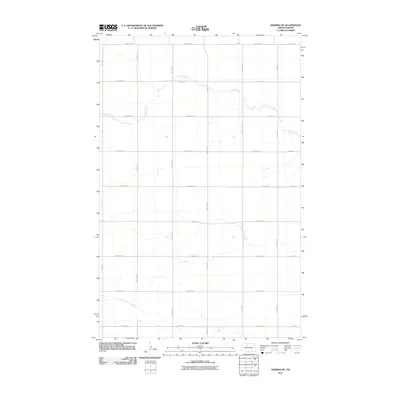
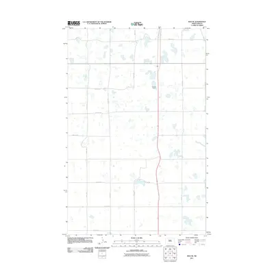
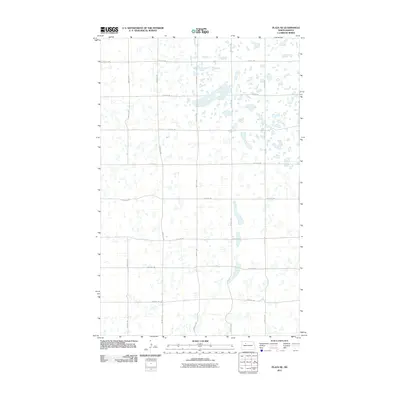
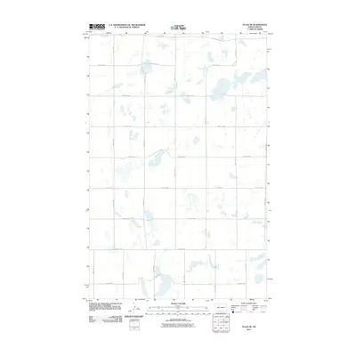
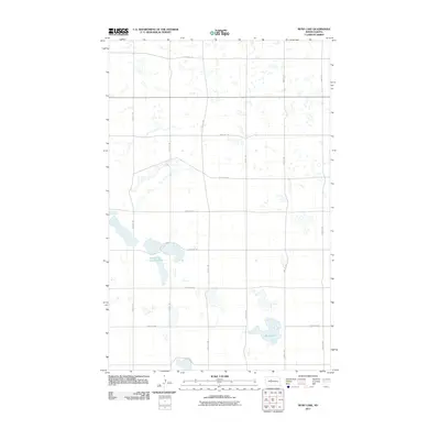
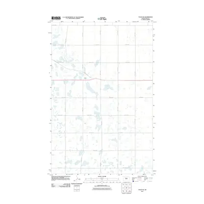
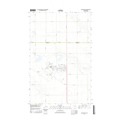
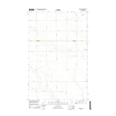
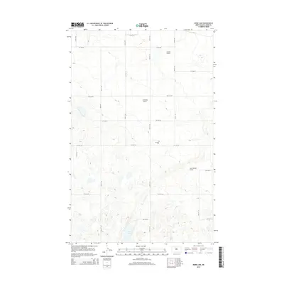
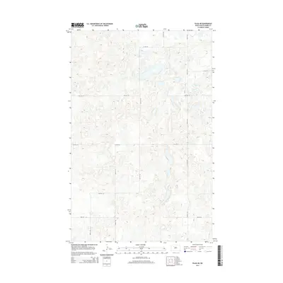
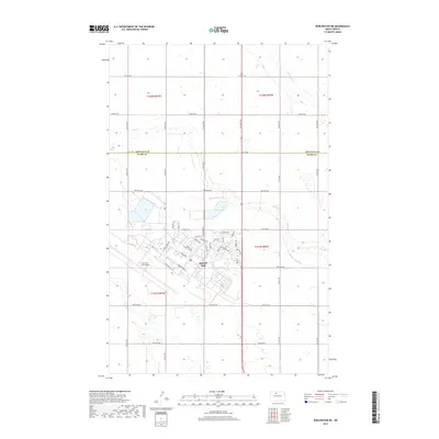
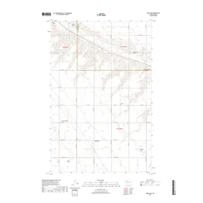
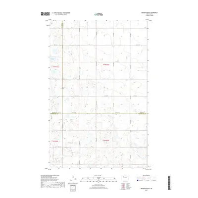
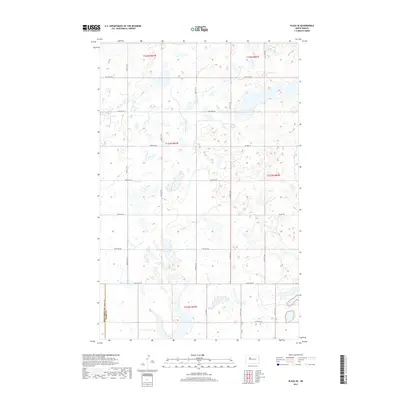
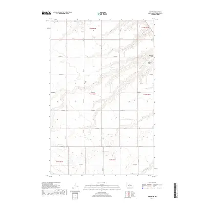
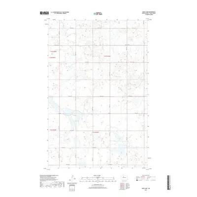
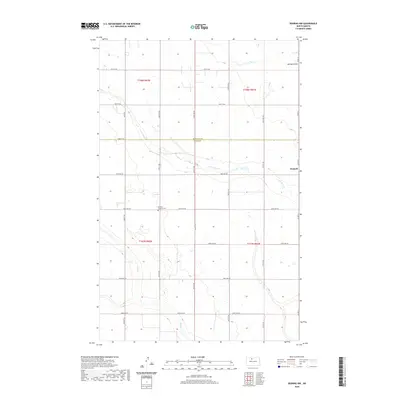
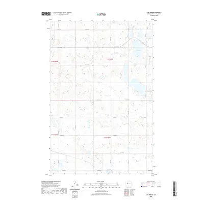
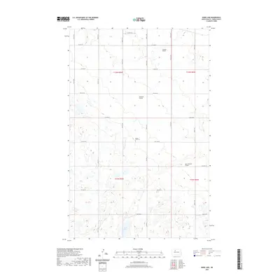
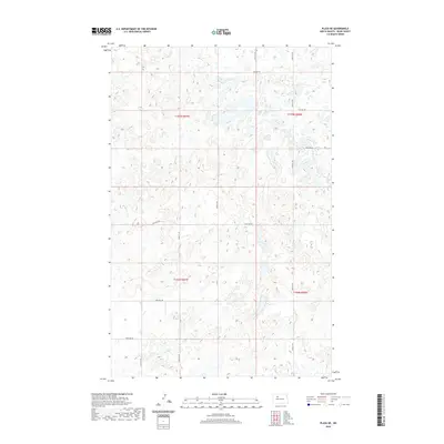
1949 Map of Minot NW
USGS Topo · Published 1949About this map
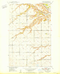
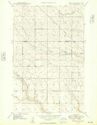
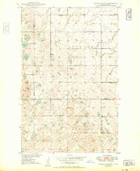
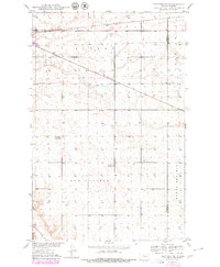
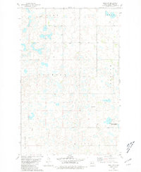
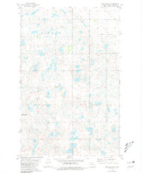
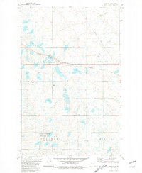
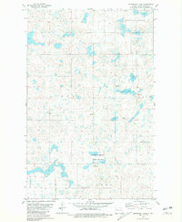
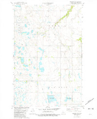
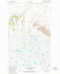
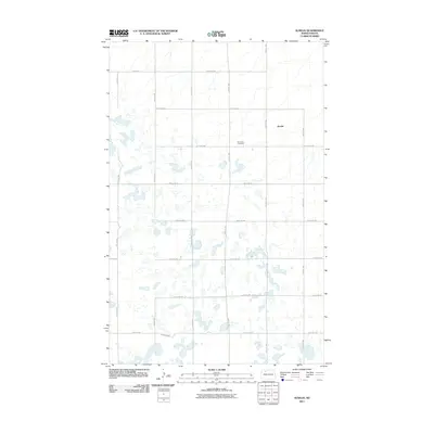
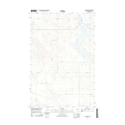
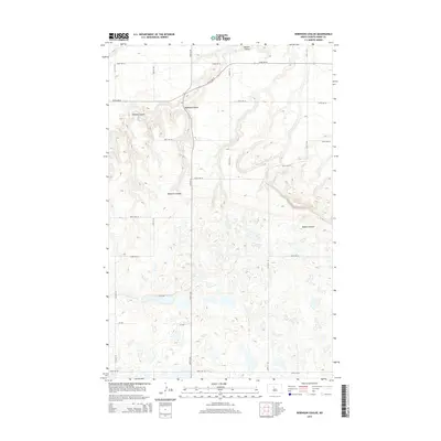
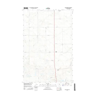
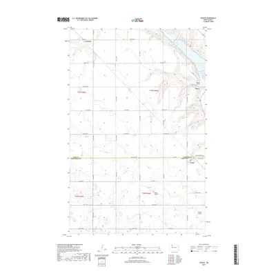
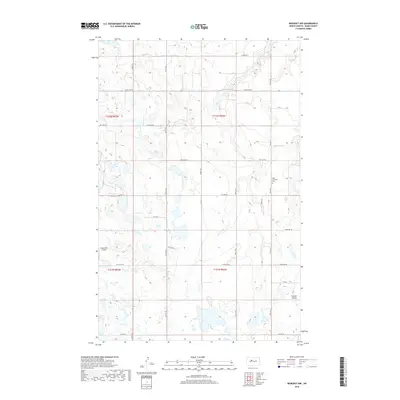
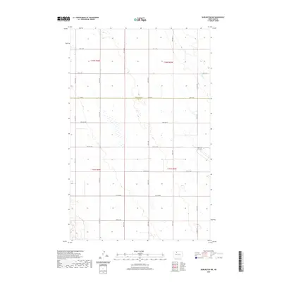
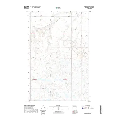
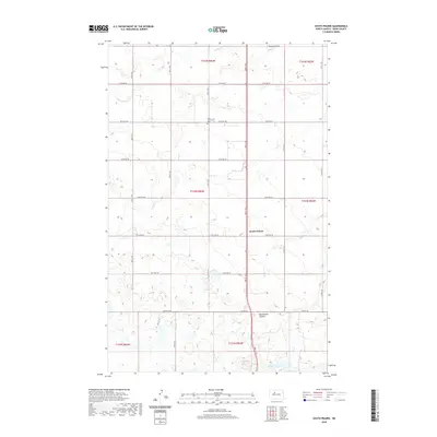
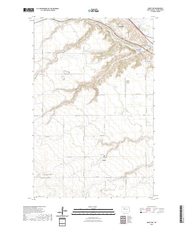
Gassman Coulee and a network of deep drainage ravines carve through the high plains northwest of Minot, showing a landscape defined by sharp elevation shifts and strategic transport corridors. The northeast corner is anchored by the Souris River valley, where the Minneapolis St Paul and Sault Ste Marie and Great Northern railroads converge. This post-war survey illustrates the rural infrastructure of Ward County, marking small rail-side locations like Ralston and the inland settlement of Drady. The distribution of one-room schoolhouses, such as School No 2 and School No 1, alongside numerous coulees like First Larson Coulee, reveals the dispersed nature of late 1940s prairie life. The terrain is notably pocketed with small depressions and wetlands like Den Lake, characteristic of the region's glacial topography.
Find a feature on this map
16 named features on this map. Tap any name to fly to it.
Don’t see what you’re looking for? This feature index may not catch every label — zoom into the map to look around manually.
Map Details
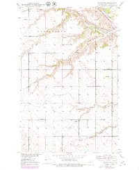
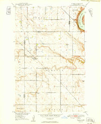
Editions of this 1949 Minot NW Map
This is the sole edition of this map. No revisions or reprints were ever made.
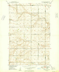
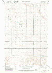
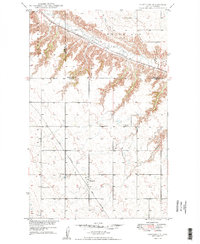
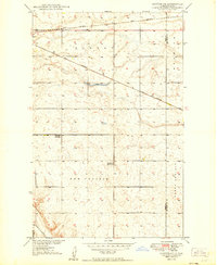
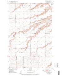
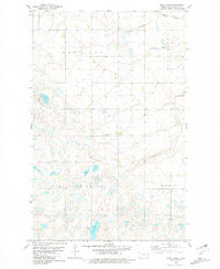
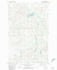
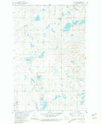
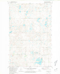
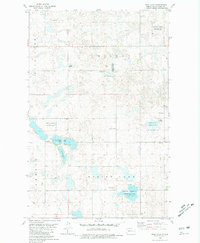
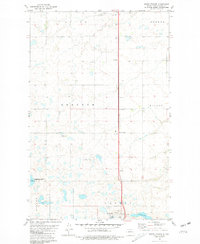
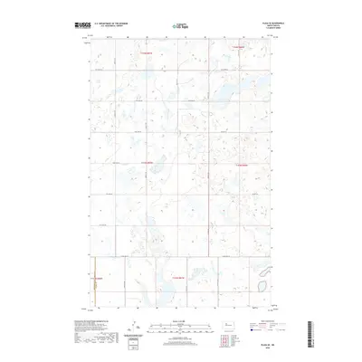
Historical Maps of Drady Through Time
186 maps found
1948 Minot NW
Ward County, ND
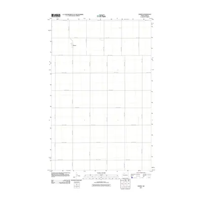
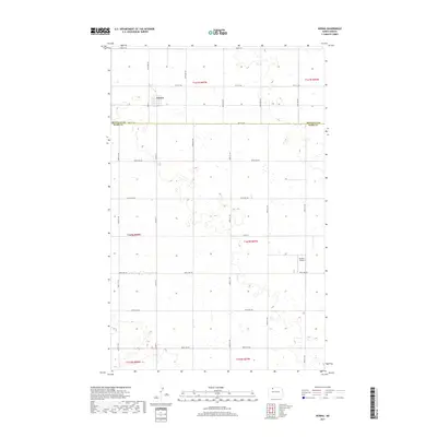
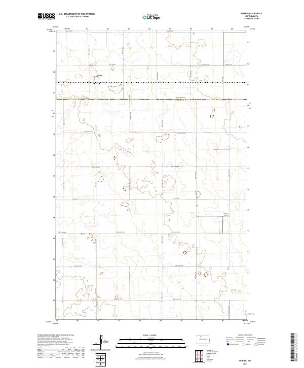
1948 Norma
Ward County, ND
1949 Burlington NE
Ward County, ND
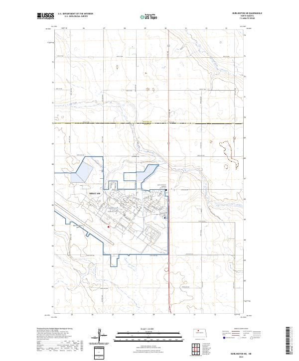
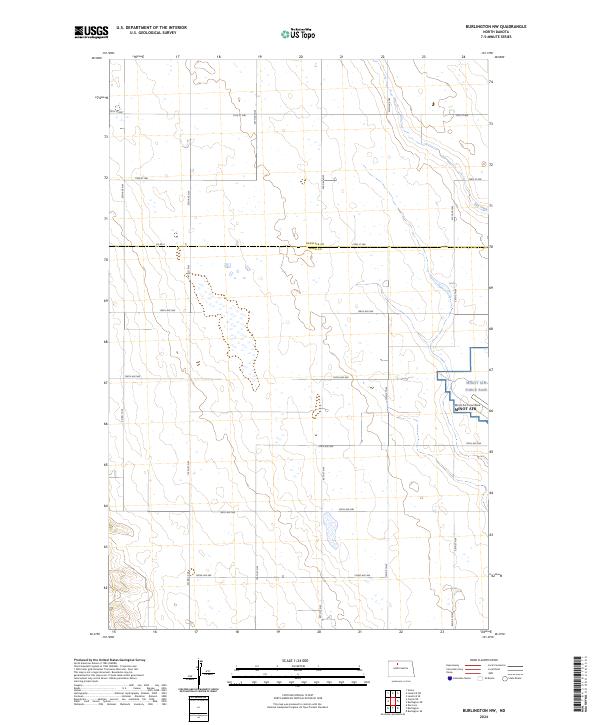
1949 Burlington NW
Ward County, ND
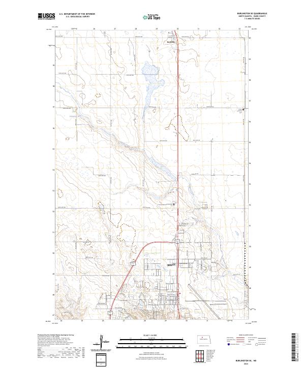
1949 Burlington SE
Ward County, ND
1949 Carpio NE
Ward County, ND
1949 Coulee
Ward County, ND
1949 Deering NW
Ward County, ND
1949 Deering SE
Ward County, ND
1949 Deering SW
Ward County, ND
1949 Hartland
Ward County, ND
1949 Minot NW
Ward County, ND
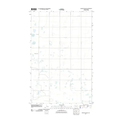
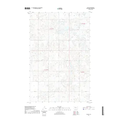
1949 Mosquito Butte
Ward County, ND
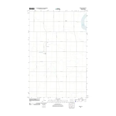
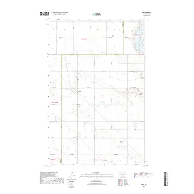
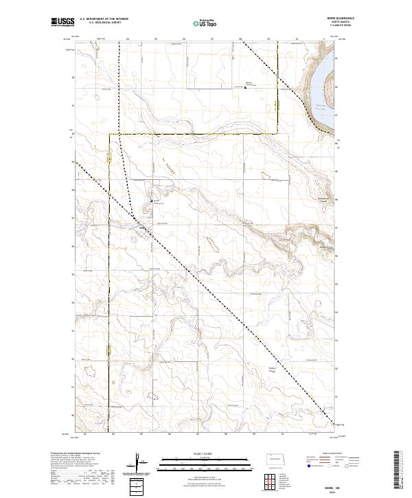
1949 Niobe
Ward County, ND
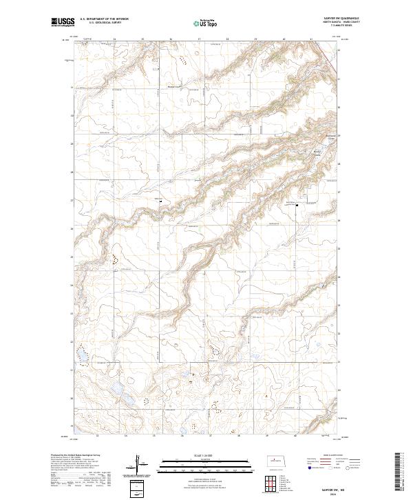
1949 Sawyer NE
Ward County, ND
1950 Sawyer SW
Ward County, ND
1966 Burlington SE
Ward County, ND
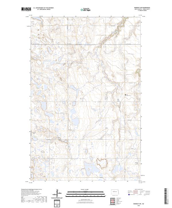
1974 Benedict NE
Ward County, ND
1974 Benedict NW
Ward County, ND
1979 Burlington NE
Ward County, ND
1979 Sawyer NE
Ward County, ND
1980 Aurelia
Ward County, ND
1980 Lake Vernon
Ward County, ND
1980 Max NE
Ward County, ND
1980 Minot SW
Ward County, ND
1980 Mork Lake
Ward County, ND
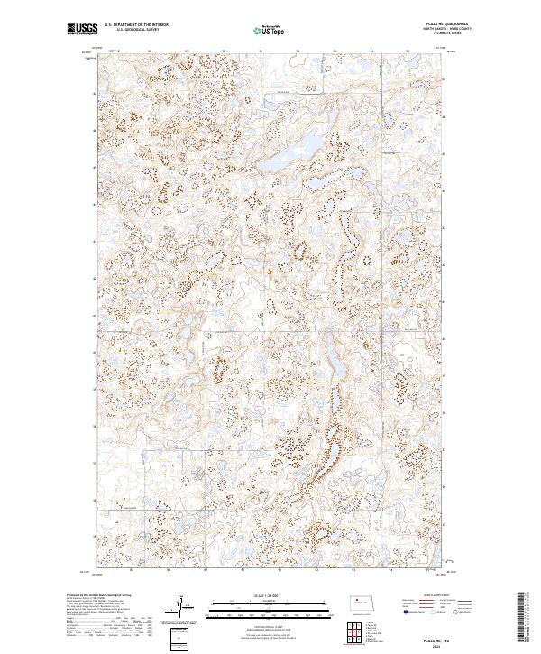
1980 Plaza NE
Ward County, ND
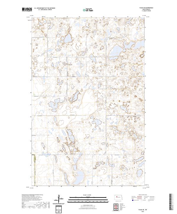
1980 Plaza SE
Ward County, ND
1980 Rice Lake NW
Ward County, ND
1980 Rice Lake
Ward County, ND
1980 Rush Lake
Ward County, ND
1980 South Prairie
Ward County, ND
1980 Tagus SE
Ward County, ND
1980 Underdahl Lake
Ward County, ND
1981 Benedict NW
Ward County, ND
1981 Robinson Coulee
Ward County, ND
2011 Aurelia
Ward County, ND
2011 Benedict NW
Ward County, ND
2011 Burlington NE
Ward County, ND
2011 Burlington NW
Ward County, ND
2011 Burlington SE
Ward County, ND
2011 Carpio NE
Ward County, ND
2011 Coulee
Ward County, ND
2011 Deering NW
Ward County, ND
2011 Deering SE
Ward County, ND
2011 Deering SW
Ward County, ND
2011 Hartland
Ward County, ND
2011 Lake Vernon
Ward County, ND
2011 Max NE
Ward County, ND
2011 Minot NW
Ward County, ND
2011 Minot SW
Ward County, ND
2011 Mork Lake
Ward County, ND
2011 Mosquito Butte
Ward County, ND
2011 Niobe
Ward County, ND
2011 Norma
Ward County, ND
2011 Plaza NE
Ward County, ND
2011 Plaza SE
Ward County, ND
2011 Rice Lake NW
Ward County, ND
2011 Rice Lake
Ward County, ND
2011 Robinson Coulee
Ward County, ND
2011 Rush Lake
Ward County, ND
2011 Sawyer NE
Ward County, ND
2011 Sawyer SW
Ward County, ND
2011 South Prairie
Ward County, ND
2011 Tagus SE
Ward County, ND
2011 Underdahl Lake
Ward County, ND
2014 Aurelia
Ward County, ND
2014 Benedict NW
Ward County, ND
2014 Burlington NE
Ward County, ND
2014 Burlington NW
Ward County, ND
2014 Burlington SE
Ward County, ND

2014 Carpio NE
Ward County, ND
2014 Coulee
Ward County, ND
2014 Deering NW
Ward County, ND
2014 Deering SE
Ward County, ND
2014 Deering SW
Ward County, ND
2014 Hartland
Ward County, ND
2014 Lake Vernon
Ward County, ND
2014 Max NE
Ward County, ND
2014 Minot NW
Ward County, ND
2014 Minot SW
Ward County, ND
2014 Mork Lake
Ward County, ND
2014 Mosquito Butte
Ward County, ND
2014 Niobe
Ward County, ND
2014 Norma
Ward County, ND
2014 Plaza NE
Ward County, ND
2014 Plaza SE
Ward County, ND
2014 Rice Lake NW
Ward County, ND
2014 Rice Lake
Ward County, ND
2014 Robinson Coulee
Ward County, ND
2014 Rush Lake
Ward County, ND
2014 Sawyer NE
Ward County, ND
2014 Sawyer SW
Ward County, ND
2014 South Prairie
Ward County, ND
2014 Tagus SE
Ward County, ND
2014 Underdahl Lake
Ward County, ND
2017 Aurelia
Ward County, ND
2017 Burlington NE
Ward County, ND
2017 Burlington NW
Ward County, ND
2017 Burlington SE
Ward County, ND
2017 Carpio NE
Ward County, ND
2017 Coulee
Ward County, ND
2017 Deering NW
Ward County, ND
2017 Deering SE
Ward County, ND
2017 Deering SW
Ward County, ND
2017 Hartland
Ward County, ND
2017 Lake Vernon
Ward County, ND
2017 Minot NW
Ward County, ND
2017 Mork Lake
Ward County, ND
2017 Mosquito Butte
Ward County, ND
2017 Niobe
Ward County, ND
2017 Norma
Ward County, ND
2017 Plaza NE
Ward County, ND
2017 Plaza SE
Ward County, ND
2017 Rice Lake NW
Ward County, ND
2017 Rice Lake
Ward County, ND
2017 Sawyer NE
Ward County, ND
2017 Sawyer SW
Ward County, ND
2017 South Prairie
Ward County, ND
2017 Tagus SE
Ward County, ND
2017 Underdahl Lake
Ward County, ND
2018 Benedict NW
Ward County, ND
2018 Max NE
Ward County, ND
2018 Minot SW
Ward County, ND
2018 Robinson Coulee
Ward County, ND
2018 Rush Lake
Ward County, ND
2020 Aurelia
Ward County, ND
2020 Benedict NW
Ward County, ND
2020 Burlington NE
Ward County, ND
2020 Burlington NW
Ward County, ND
2020 Burlington SE
Ward County, ND
2020 Carpio NE
Ward County, ND
2020 Coulee
Ward County, ND
2020 Deering NW
Ward County, ND
2020 Deering SE
Ward County, ND
2020 Deering SW
Ward County, ND
2020 Hartland
Ward County, ND
2020 Lake Vernon
Ward County, ND
2020 Max NE
Ward County, ND
2020 Minot NW
Ward County, ND
2020 Minot SW
Ward County, ND
2020 Mork Lake
Ward County, ND
2020 Mosquito Butte
Ward County, ND
2020 Niobe
Ward County, ND
2020 Norma
Ward County, ND
2020 Plaza NE
Ward County, ND
2020 Plaza SE
Ward County, ND
2020 Rice Lake NW
Ward County, ND
2020 Rice Lake
Ward County, ND
2020 Robinson Coulee
Ward County, ND
2020 Rush Lake
Ward County, ND
2020 Sawyer NE
Ward County, ND
2020 Sawyer SW
Ward County, ND
2020 South Prairie
Ward County, ND
2020 Tagus SE
Ward County, ND
2020 Underdahl Lake
Ward County, ND
2024 Aurelia
Ward County, ND
2024 Benedict NW
Ward County, ND
2024 Burlington NE
Ward County, ND
2024 Burlington NW
Ward County, ND
2024 Burlington SE
Ward County, ND
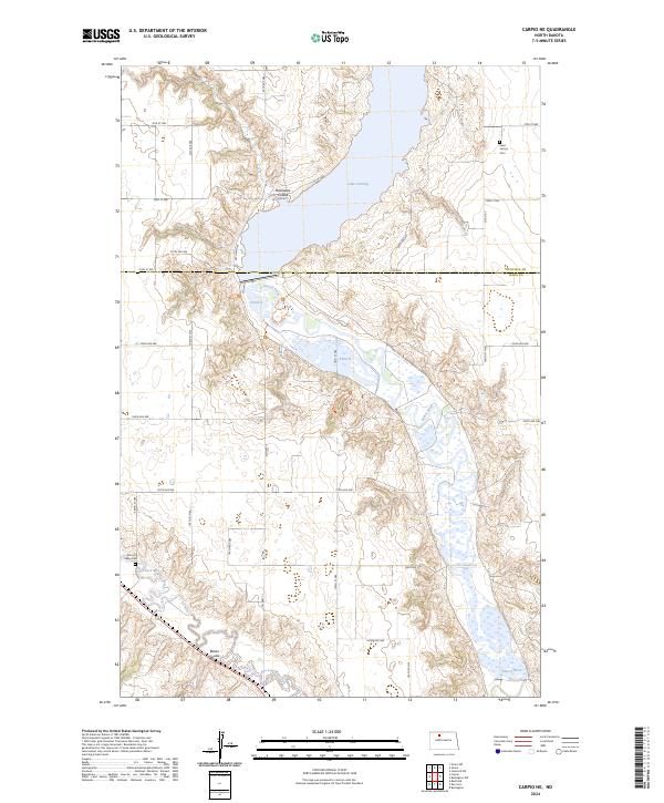
2024 Carpio NE
Ward County, ND
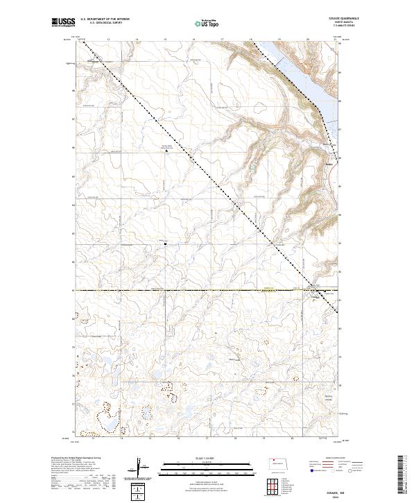
2024 Coulee
Ward County, ND
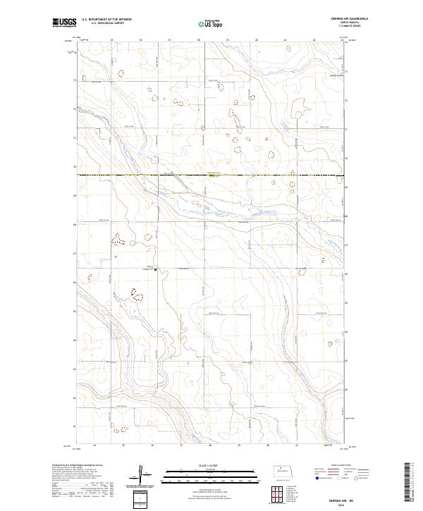
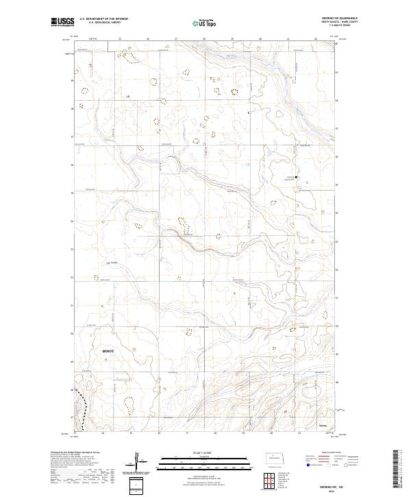
2024 Deering NW
Ward County, ND
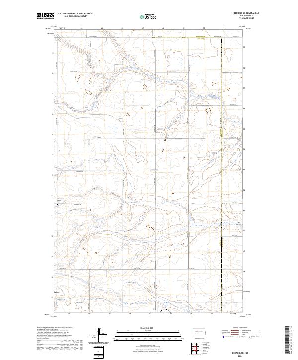
2024 Deering SE
Ward County, ND
2024 Deering SW
Ward County, ND
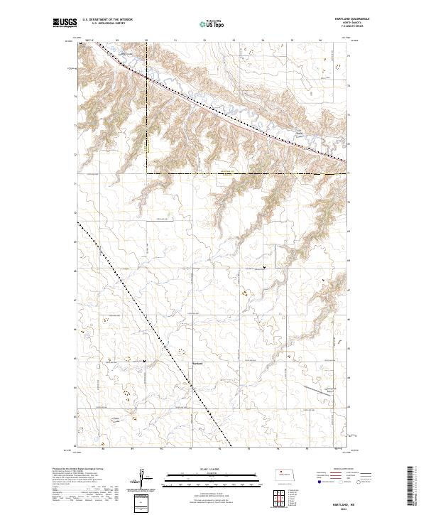
2024 Hartland
Ward County, ND
2024 Lake Vernon
Ward County, ND
2024 Max NE
Ward County, ND
2024 Minot NW
Ward County, ND
2024 Minot SW
Ward County, ND
2024 Mork Lake
Ward County, ND
2024 Mosquito Butte
Ward County, ND
2024 Niobe
Ward County, ND
2024 Norma
Ward County, ND
2024 Plaza NE
Ward County, ND
2024 Plaza SE
Ward County, ND
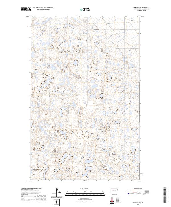
2024 Rice Lake NW
Ward County, ND
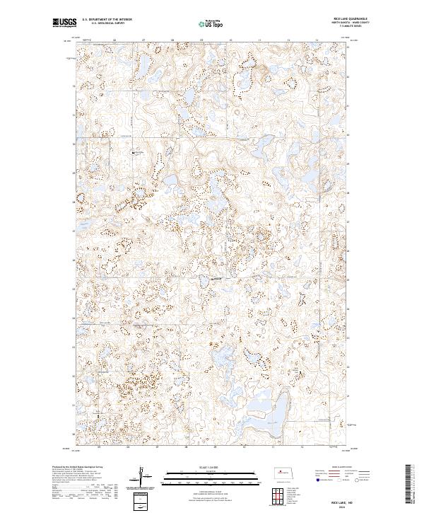
2024 Rice Lake
Ward County, ND
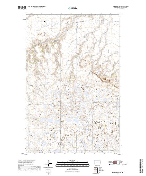
2024 Robinson Coulee
Ward County, ND
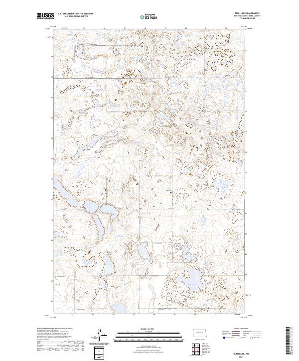
2024 Rush Lake
Ward County, ND
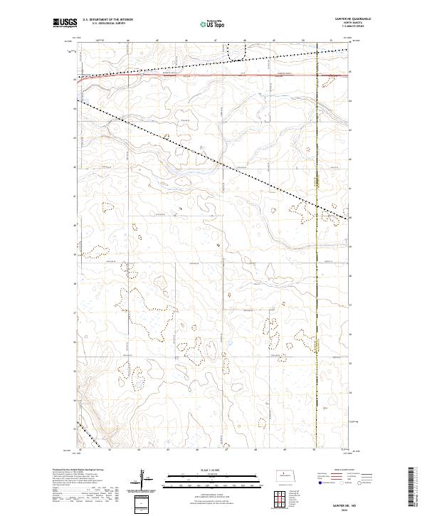
2024 Sawyer NE
Ward County, ND
2024 Sawyer SW
Ward County, ND
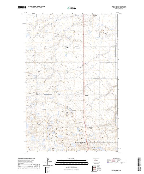
2024 South Prairie
Ward County, ND
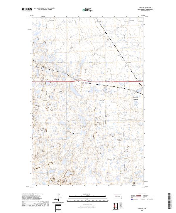
2024 Tagus SE
Ward County, ND
2024 Underdahl Lake
Ward County, ND