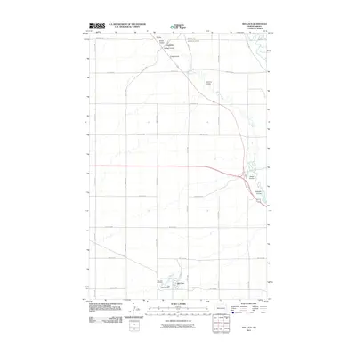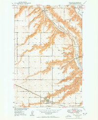
1950 Map of Des Lacs
USGS Topo · Published 1950About this map
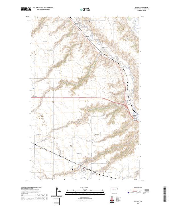
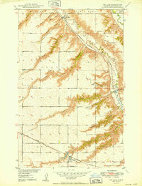
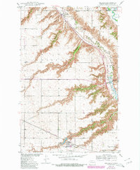
The Des Lacs River cuts a deep, winding path through the North Dakota prairie, defining the geography of this mid-century agricultural landscape. In the north, the village of Foxholm sits at the junction of the river valley and the Minneapolis St Paul and Sault Ste Marie railroad, while the southern reaches are anchored by the Great Northern line passing through Larsons. The map reveals a land heavily dissected by local drainage features, with family-named coulees such as Glick, Reihle, and Karlsen etching the high ground. These landforms reflect the importance of local topography to the early townships of Mayland and Saint Marys. Community life is evidenced by the Town Hall, School No 3, and local burial grounds like St Marys Cem and Des Lacs Cem, providing valuable touchpoints for genealogists and local historians.
Find a feature on this map
27 named features on this map. Tap any name to fly to it.
Don’t see what you’re looking for? This feature index may not catch every label — zoom into the map to look around manually.
Map Details
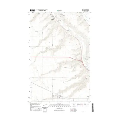
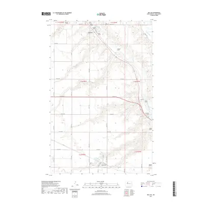
Editions of this 1950 Des Lacs Map
3 editions found
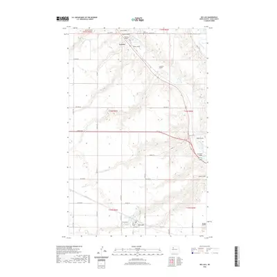
Historical Maps of Des Lacs Through Time
6 maps found