
1949 Map of Carpio
USGS Topo · Published 1949About this map
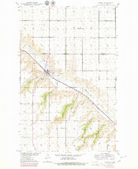
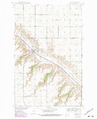
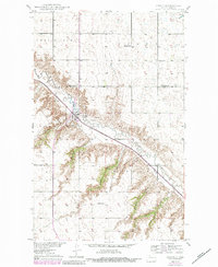
The Des Lacs River valley defines the character of this late 1940s landscape, cutting deeply through the high tablelands of the White Ash Plain and Maryland. The town of Carpio serves as the focal point of the region, situated where the Minneapolis St Paul and Sault Ste Marie railroad tracks parallel the river's winding course. This period reveals a community tied to the land through local institutions like Skarsbo Sch and Helseth Sch, and spiritual centers such as Nazareth Ch and St Johns Cem. The intricate network of coulees, including Flaten Coulee and Johnson Coulee, illustrates the complex drainage patterns feeding into the valley. The presence of Gravel Pits and the Helseth Dam highlights the early infrastructure and resource extraction supporting the local agricultural economy during the post-war era.
Find a feature on this map
20 named features on this map. Tap any name to fly to it.
Don’t see what you’re looking for? This feature index may not catch every label — zoom into the map to look around manually.
Map Details
Editions of this 1949 Carpio Map
4 editions found
Other maps of this area

1947 · Tolley
USGS Topo · 1:62,500

1949 · Tolley SE
USGS Topo · 1:24,000

1949 · Hartland
USGS Topo · 1:24,000

1949 · Carpio NE
USGS Topo · 1:24,000

1949 · Grano SW
USGS Topo · 1:24,000

1949 · Grano
USGS Topo · 1:24,000

1950 · Tolley
USGS Topo · 1:62,500

1950 · Des Lacs
USGS Topo · 1:24,000
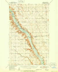
1951 · Grano
USGS Topo · 1:62,500

1954 · Minot
USGS Topo · 1:250,000