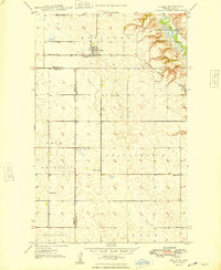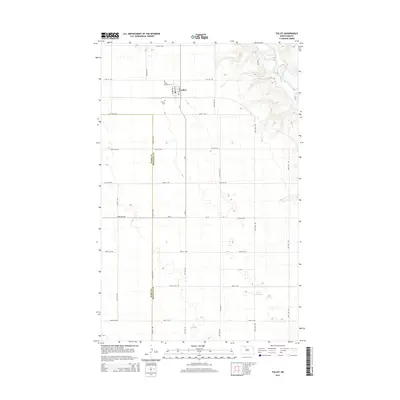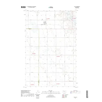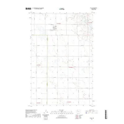
1947 Map of Tolley
USGS Topo · Published 1963About this map
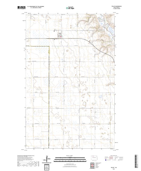
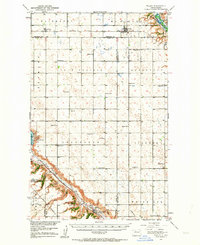
The Mouse River and Des Lacs River define the agricultural landscape of Renville and Ward Counties in this mid-century survey. The region is characterized by an extensive network of townships such as Sauk Prairie, Greenbush, and Ivanhoe, where the prairie is dotted with numbered rural schoolhouses and small community hubs like Tolley and Norma. In the south, the settlement of Donnybrook sits near the confluence of several named coulees, including Aennis Coulee and Holbrook Coulee, reflecting the complex drainage patterns feeding into the river valleys.
Find a feature on this map
43 named features on this map. Tap any name to fly to it.
Don’t see what you’re looking for? This feature index may not catch every label — zoom into the map to look around manually.
Map Details
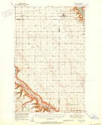
Editions of this 1947 Tolley Map
This is the sole edition of this map. No revisions or reprints were ever made.
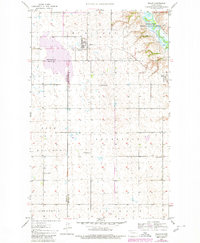
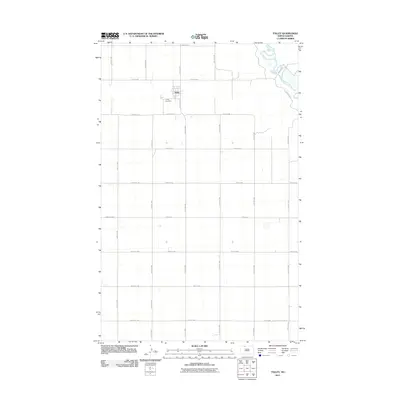
Historical Maps of Donnybrook Through Time
9 maps found